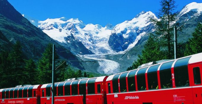
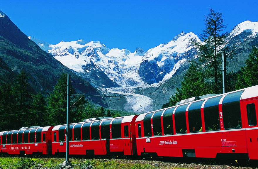
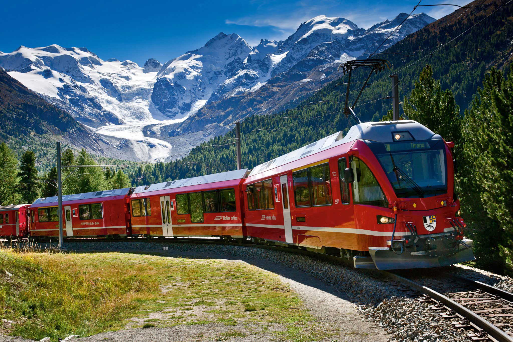
Bernina Express with the Morteratsch Glacier and the Bernina Massif in the background: Source: http://en.graubuenden.ch/rail-travel-switzerland-summer/bernina-express.html
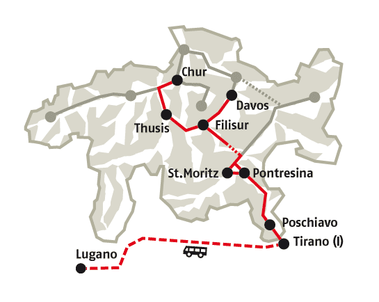
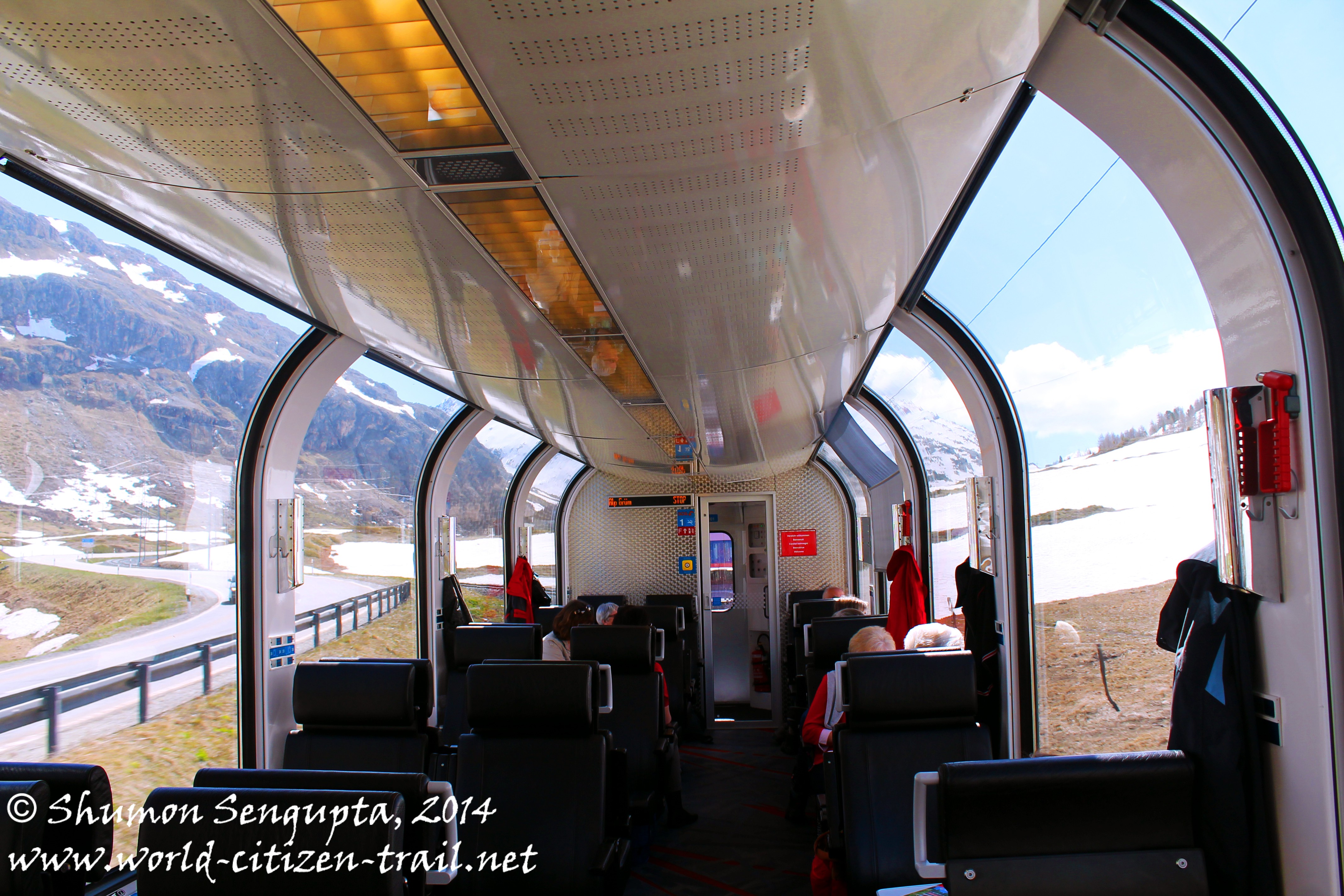
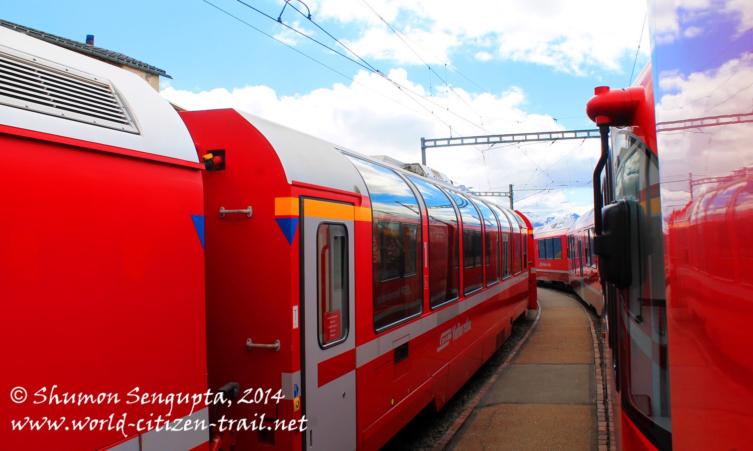
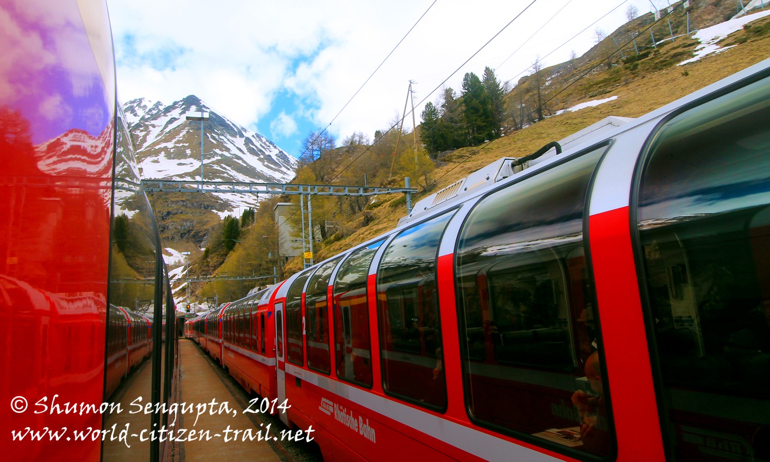
We took the UNESCO World Heritage Bernina Express of the Rhaetian Railway from Chur to Tirano , traversing the Albula and Bernina lines. One of the most spectacular and dramatic ways to cross the Alps, this single track meter gauge railway was an incredible Alpine experience.
Connecting the northern part of Switzerland with the southern part, the Bernina line negotiates some of the steepest gradients (up to 70% incline) without a rack-and pinion (cog rail) system. Over its four hour journey, it ran through 55 tunnels and over 196 bridges and viaducts.
In this post, I shall describe a part of the journey – from Chur to Alp Grüm and take up the Alp Grüm to Tirano section in a subsequent post.
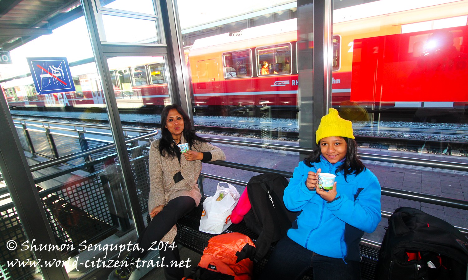
We were in Maienfeld the previous night. So on the day of our journey, we got up very early, around 5.30 in the morning, got ready, had our breakfast and then left for the Maienfeld train station. We boarded the local train at Maienfeld station at 7.43 to reach
Chur in 14 minutes. At Chur, we picked up some sandwiches, salad, yogurt and potato crisps for our journey because they don’t serve lunch in this train. There is a trolley selling light refreshments though.
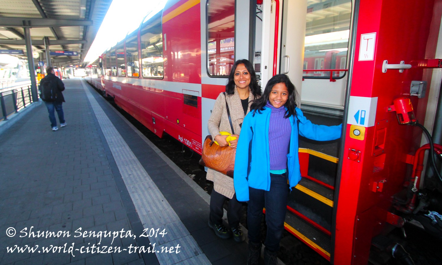
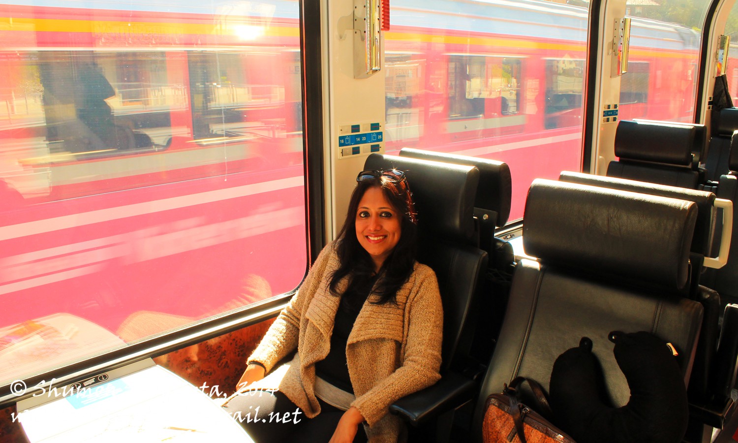
We boarded the Bernina Express (the Albula Line) in Chur and left dot at 8.32 am.
Leaving Chur (at 1,919 feet), our train followed the upstream course of the Rhine River up to Bonaduz, at 2,148 feet. From Bonduz, we entered the Domleschg valley to shadow the course of Hinterrhein River, a tributary of the Rhine, from Rhazuns to Thusis.
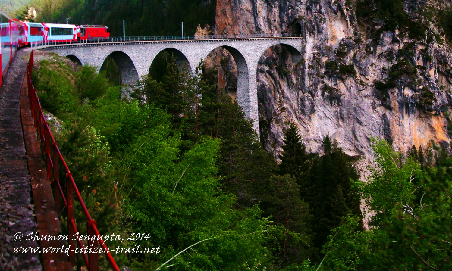
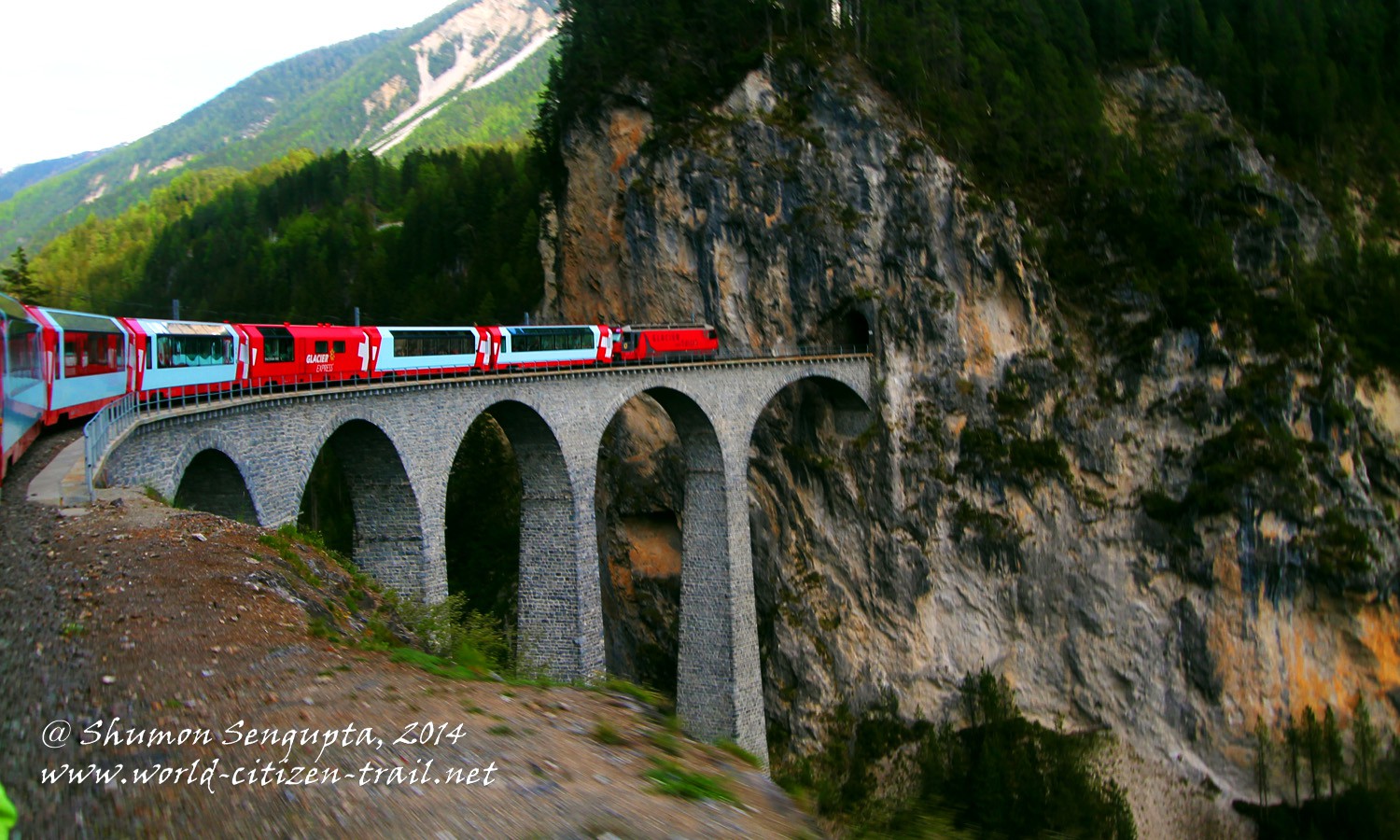
From Thusis (2,286 feet), shadowing the course of the Albula River, our train then surged along the upward incline towards Tiefencastle, from where it crossed the famous Landwasser Viaduct to arrive at Filisur, at a height of 3,385 feet.
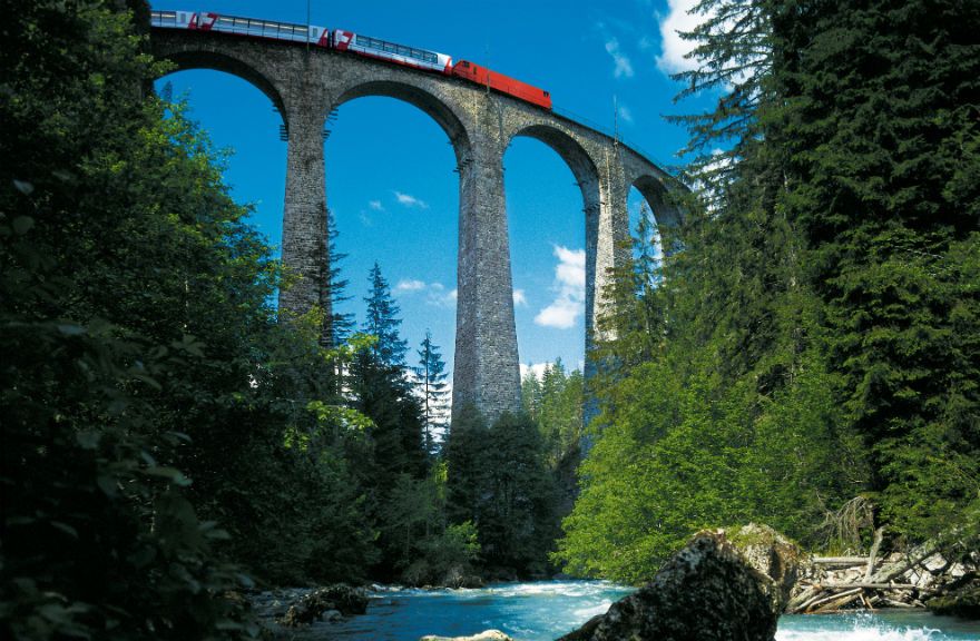
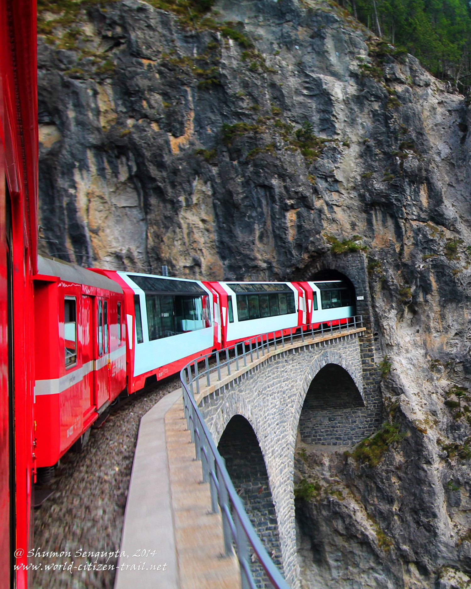
Here, something about the towering (213 feet) Landwasser Viaduct will be in order.
Source: http://en.graubuenden.ch/rail-travel-switzerland-summer/bernina-express.html
The Landwasser Viaduct is the most spectacular of the many viaducts built over deep gorges or ravines on this line.
The viaduct is built of calcareous dolomite stone stilts. The arches of the viaduct sit on soaring stone stilts and as you cross the viaduct, you feel as if you are moving over air. The three main stilts/pillars were constructed in 1901-02 using just two cranes and without the use of any scaffolding. Hence it is considered a masterpiece in civil engineering.
This viaduct was sensitively designed to seamlessly blend with its mountainous surroundings. It remains as one of the finest examples of harmony between nature and technology. This viaduct is an integral part of the Albula Line which has been awarded UNESCO World Heritage Status.
Both the Bernina Express as well as the Glacier Express traverses this spectacular viaduct. The photographs of the Landwasser Viaduct included in this post are from our Glacier Express tip because these are slightly better than those I could take from the Bernina Express. A few photographs are from the net and the source is acknowledged.
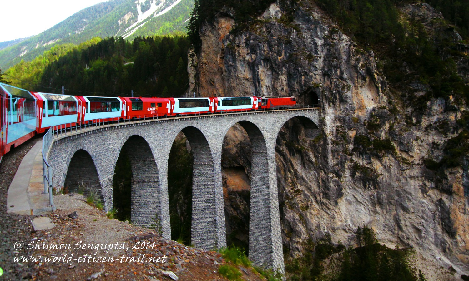
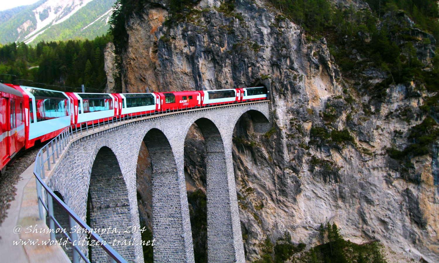
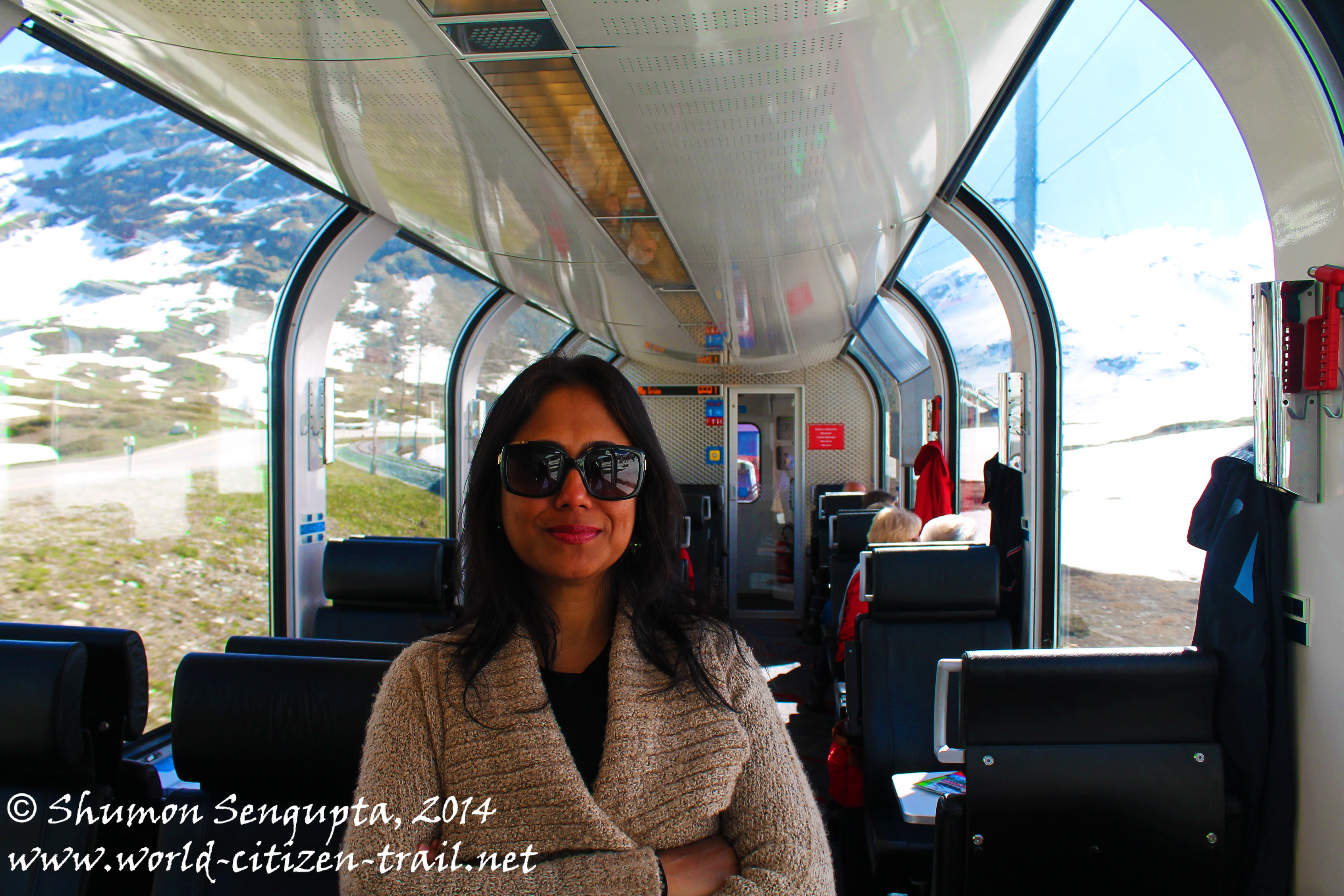
I wanted to get off at Filisur to photograph this iconic structure from outside. That would have meant a hike into the mountain to reach the viewing platform. However both Ananya (my wife) and Minnie (our 11 year old daughter) were feeling lazy and vetoed the idea. Hence I had to take the photograph from inside the train, from the second last compartment.
I had to crane my neck and hands outside the sliding window in the narrow space between two compartments to take the photograph. It was indeed quite a dizzying experience, given sheer drop at the edge of the track. I managed to hold my hands fairly still for the photograph, but later realized that I was sweating out of sheer vertigo.
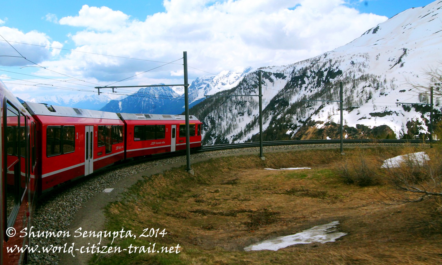
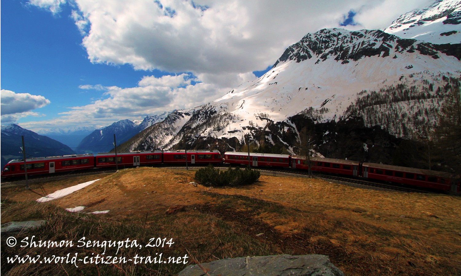
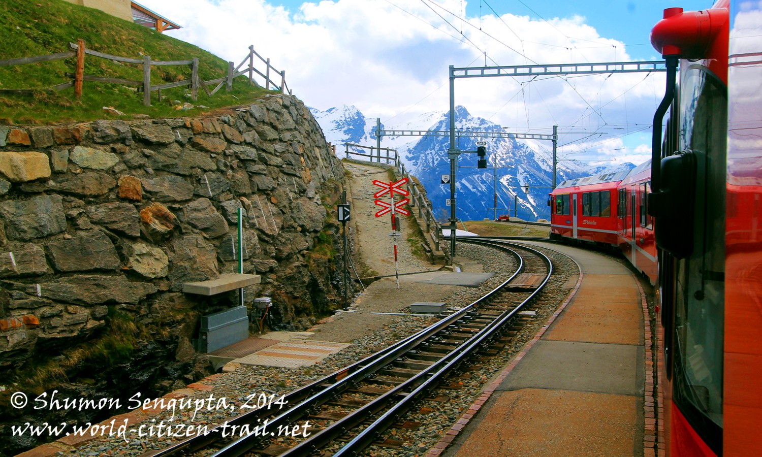
From Filisur, our train negotiated its first spiral/loop tunnel inside the mountain, to emerge into Bravuogn at a height of 4,504 feet.
In the next section, between Bravuogn to Preda (at 5,860 feet) our train had to climb a height of 1,312 feet within a horizontal distance of merely 5 km and this it did without using the toothed cog-rail generally used by trains to make steep climbs. Instead of the cog-rail, the Bernina Express uses a series of spiral tunnels carved deep into the mountain to climb the height. It practically curls around itself, going through a series of loops inside the mountain. By all means, this represents an engineering marvel.
Our train entered the Albula Tunel (under the Albula Pass) at a height of 5,954 feet and emerged out into Bever at 5,603 feet in the Engadine plain. From there the train climbed again towards Samedan and then further up to the resort town of St. Moritz at 5,823 feet.
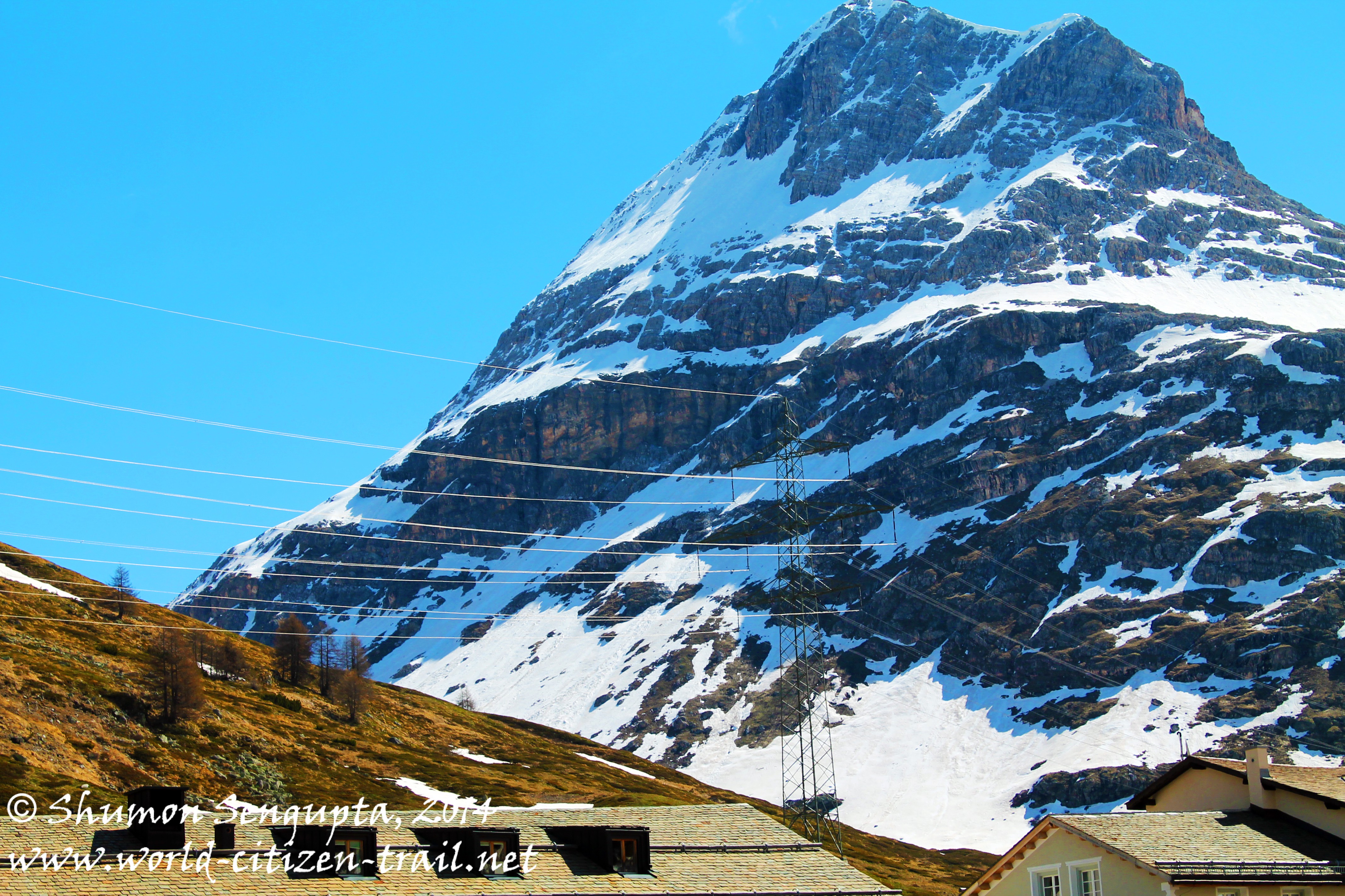
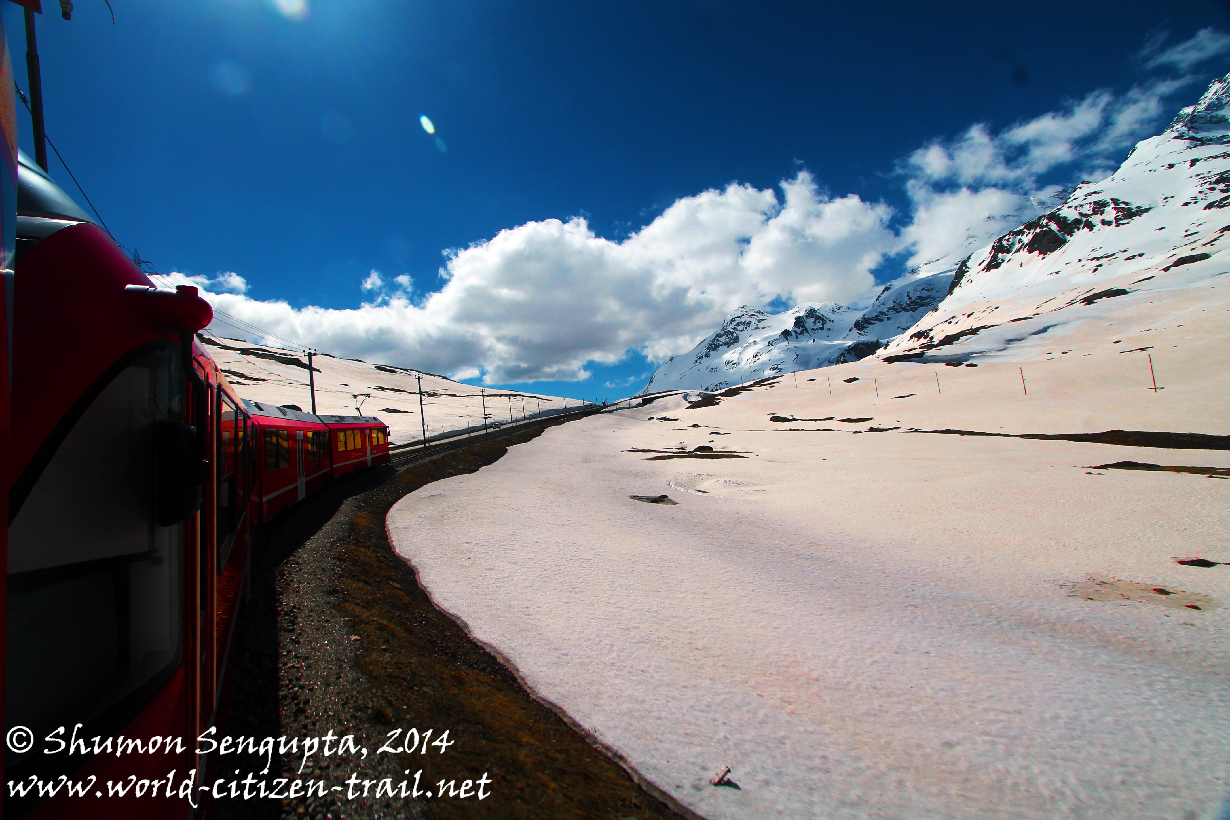
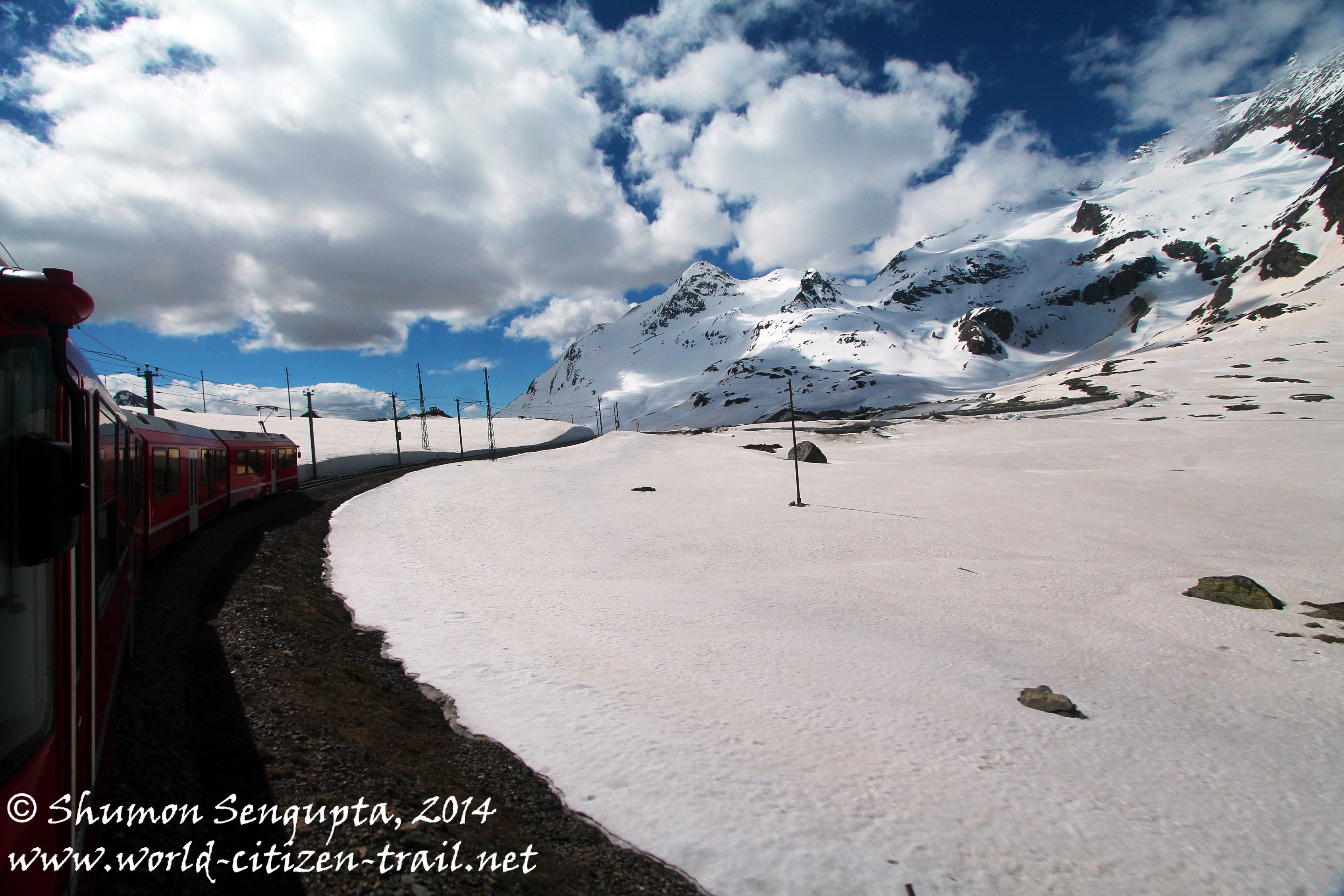
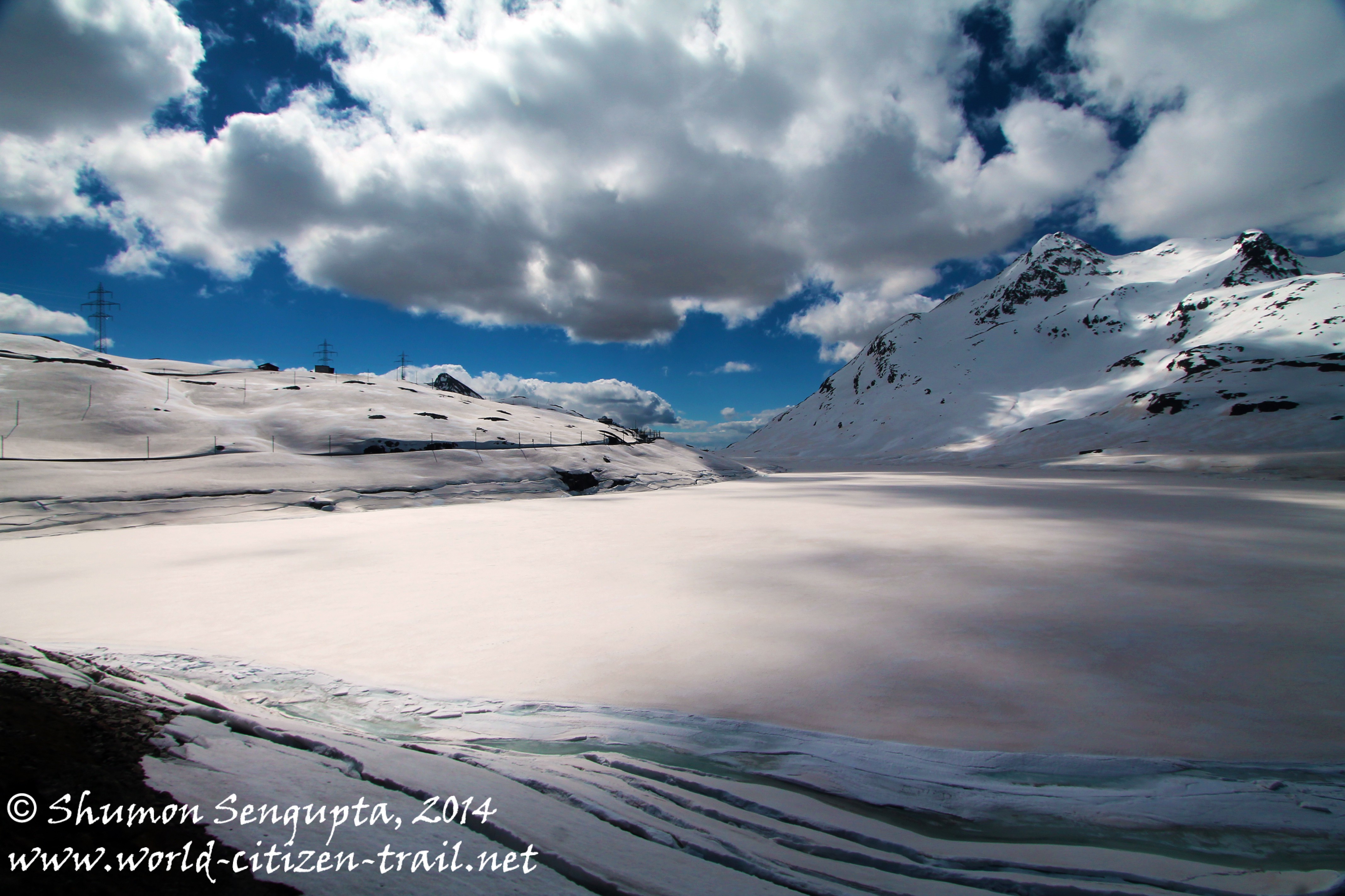
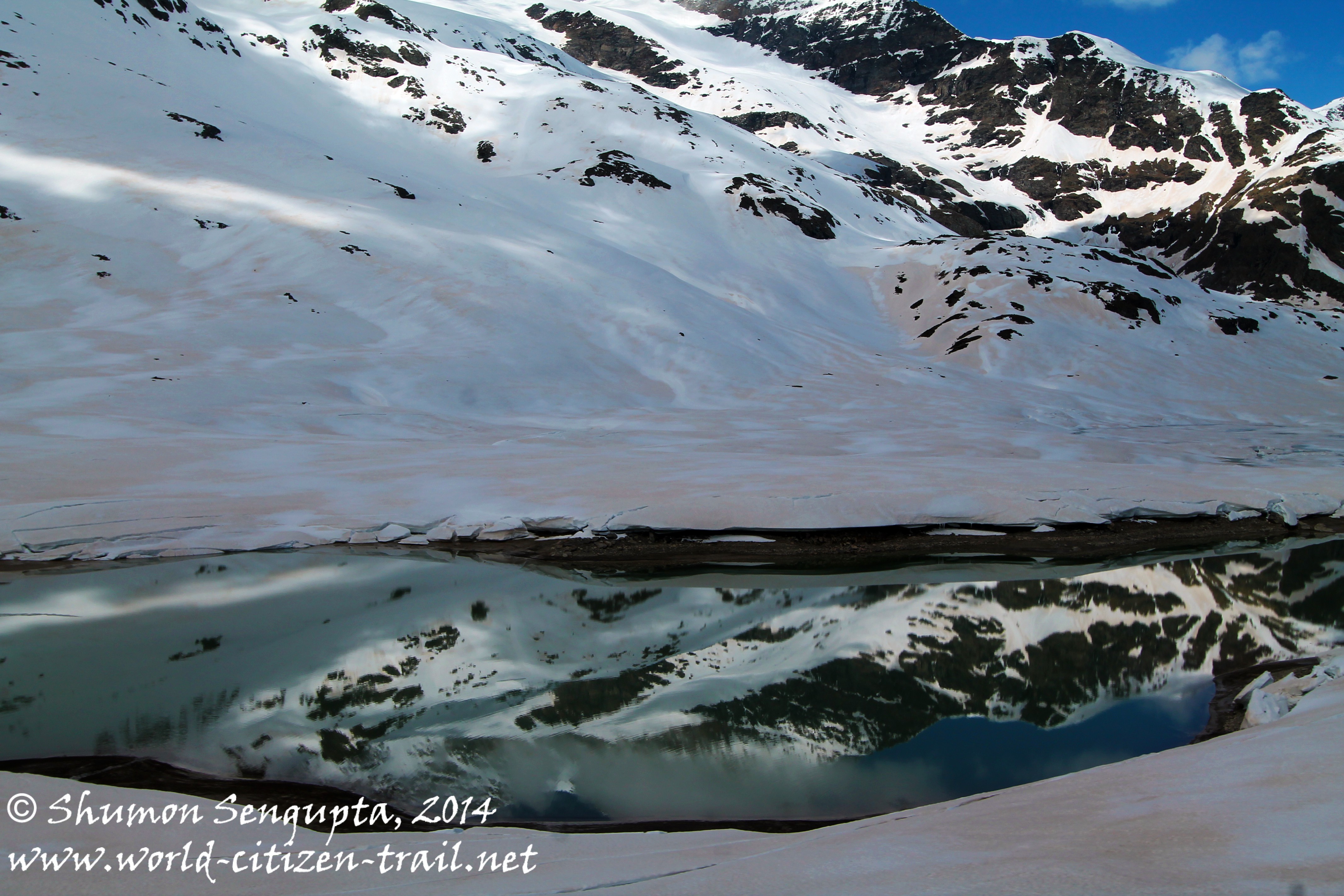
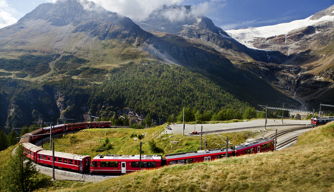
After a brief halt at St. Moritz, out train took the Bernina line to the spa town of Pontresina, located in the Bernina valley. Climbing progressively through the Bernina valley, our train then reached the Morteratsch train station (at 6,220 feet) from where the massive Morteratsch glacier and Piz Bernina (13,428 feet) are visible. For those who want to hike on the breathtaking Morteratsch glacier, this is the point to get off.
Morteratsch glacier is the largest glacier (by area) in the Bernina range. It is massive and spectacular.
Sadly, in recent years, the glacier has receded quite a lot and markings indicate the history of recession for the visitor. The ice front of the glacier used to end at the station in the past. However now, one has to hike for about 45 minutes to reach the glacier – a stark reminder of climate change.
Montebello Curve: Source: www.interrail.eu/trains-europe/scenic-trains/bernina-ex[ress
Montebello Curve: Source: http://www.stmoritz.ch/en/winter/lifestyle/rail-excursions/bernina-express.html
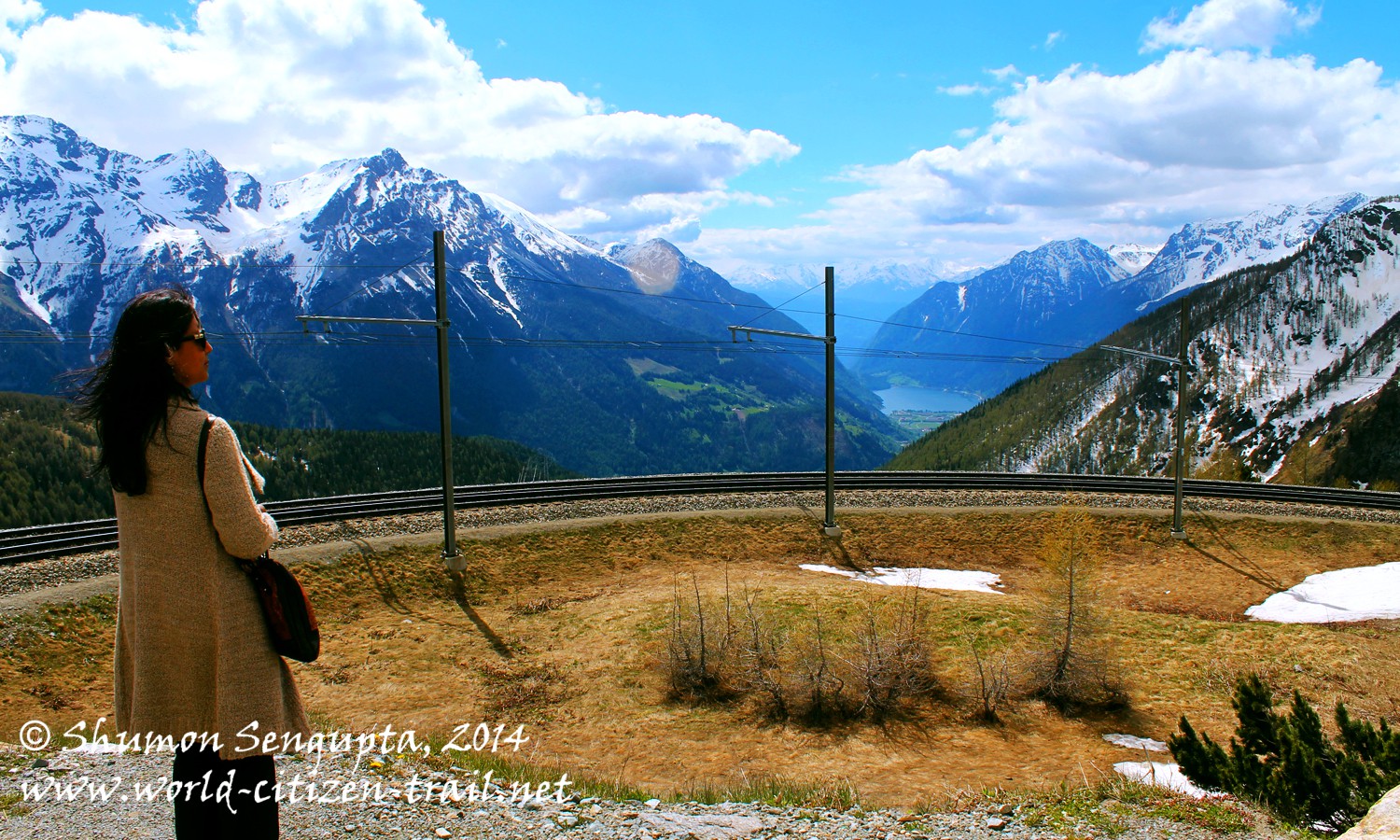
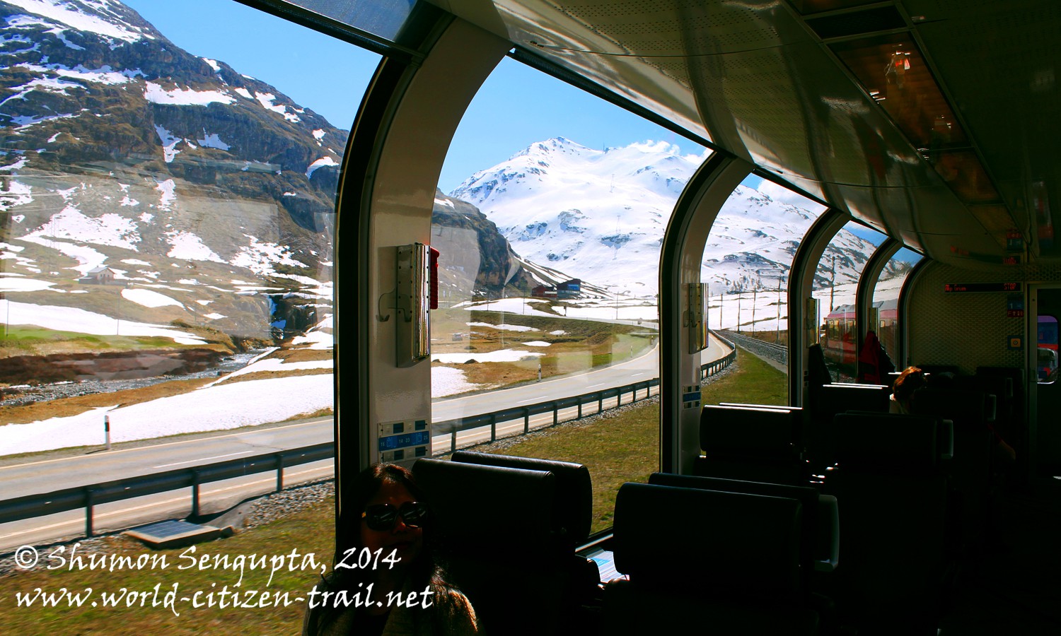
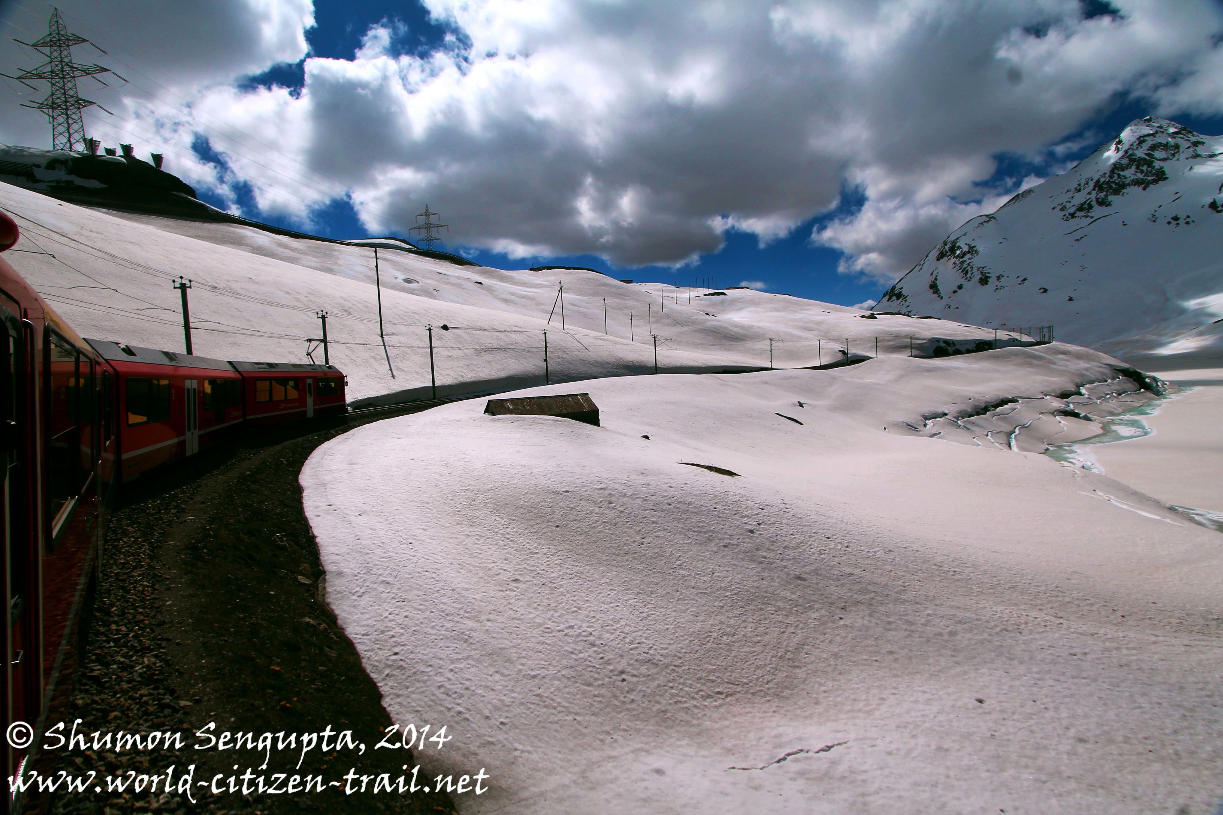
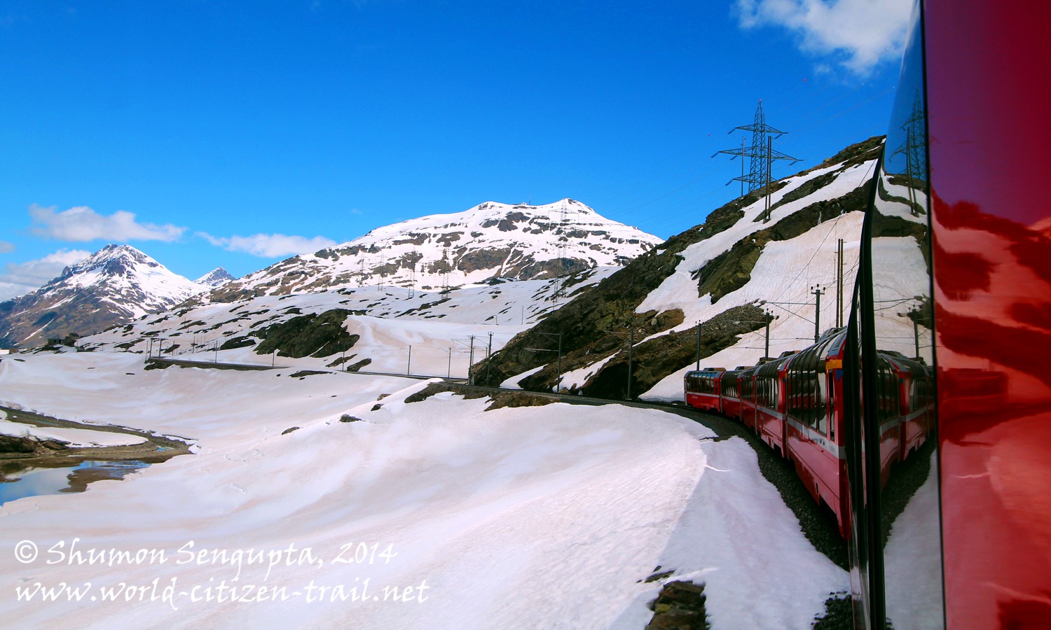
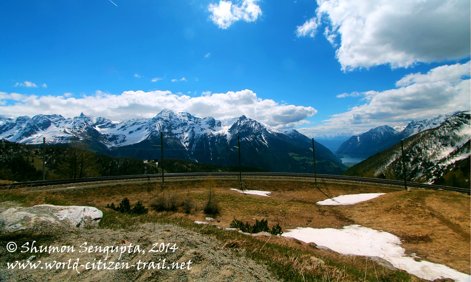
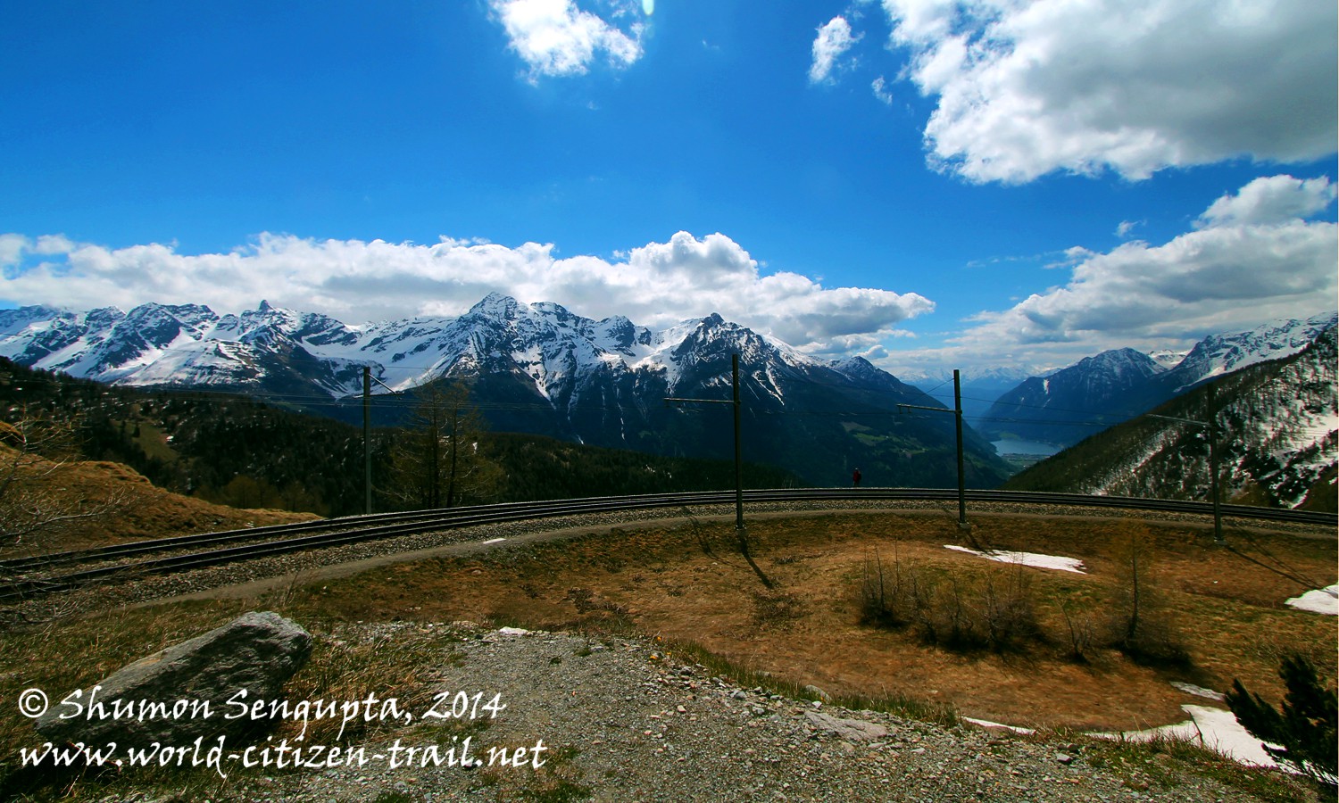
Next to the Morteratsch station was the famed 180 degree Montebello Curve from where we could see spectacular views of the Morteratsch Glacier and the soaring
Bernina massif. I have included a photograph from the net, of the Montebello Curve. This is also where the railway track meets the road, over the pass from where both the railway track and road goes in parallel, till Ospizio Bernina.
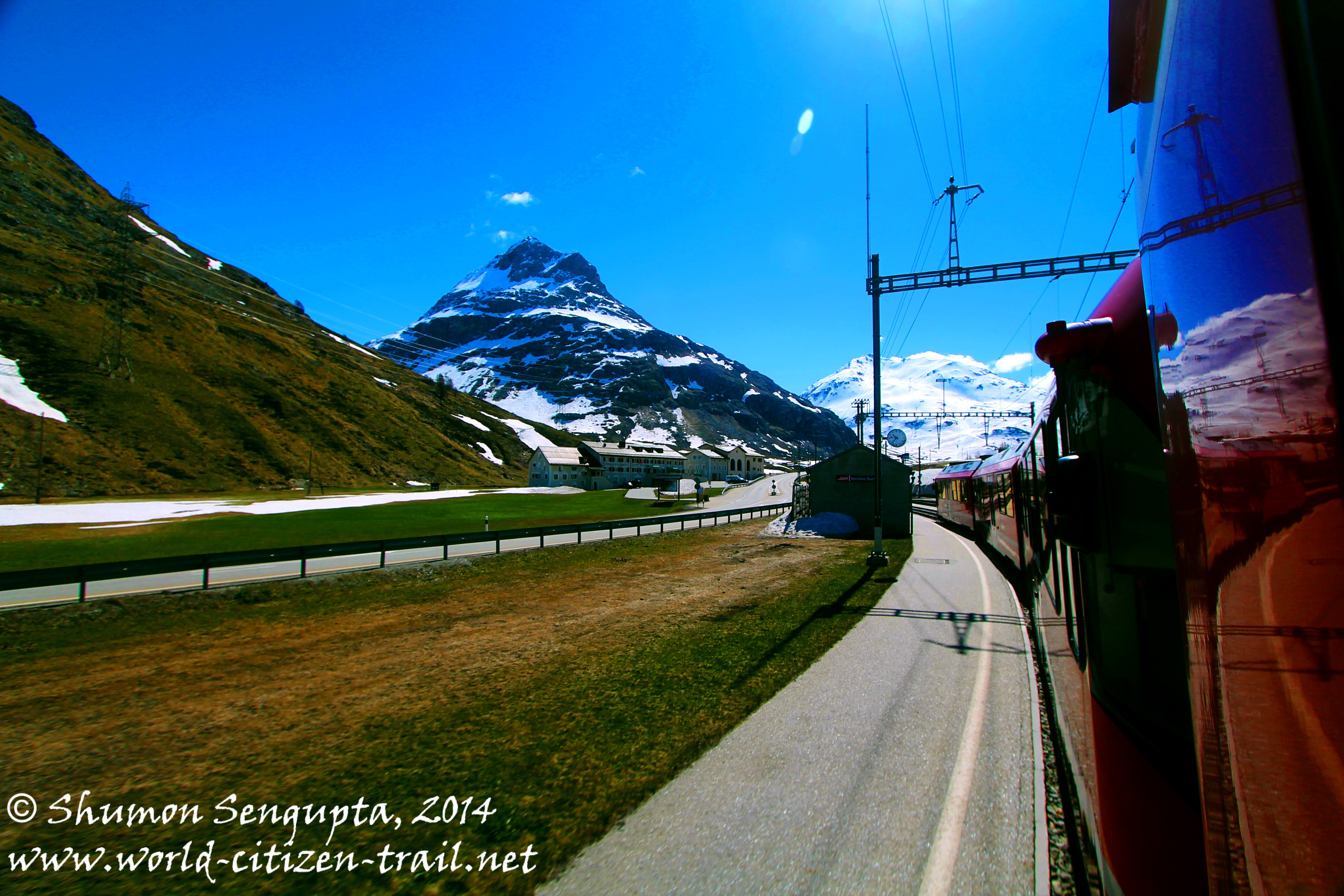
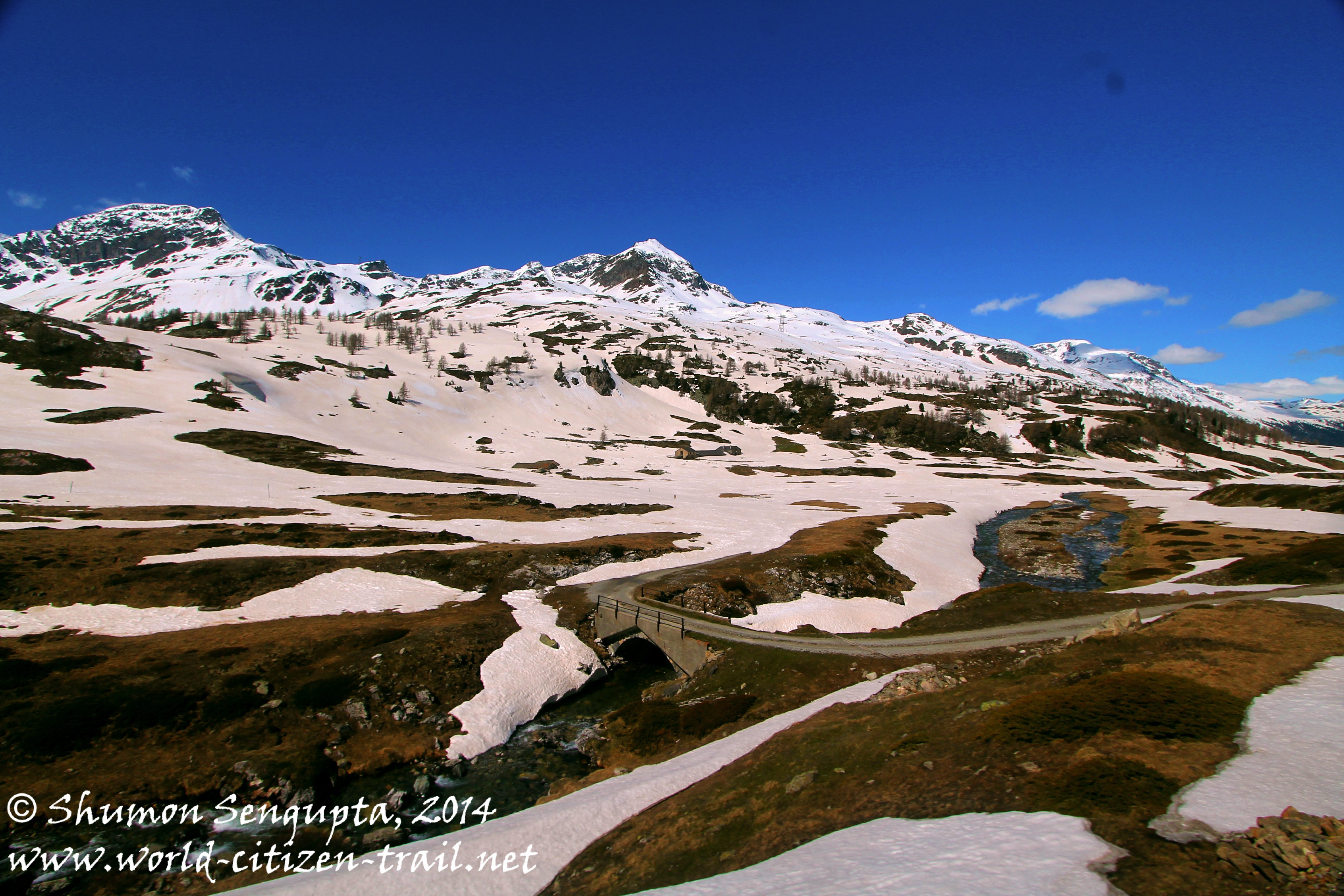
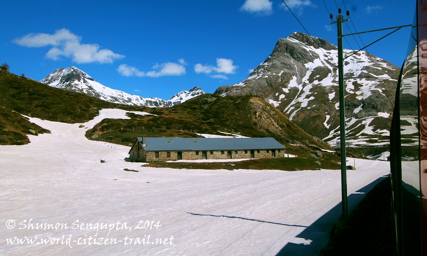
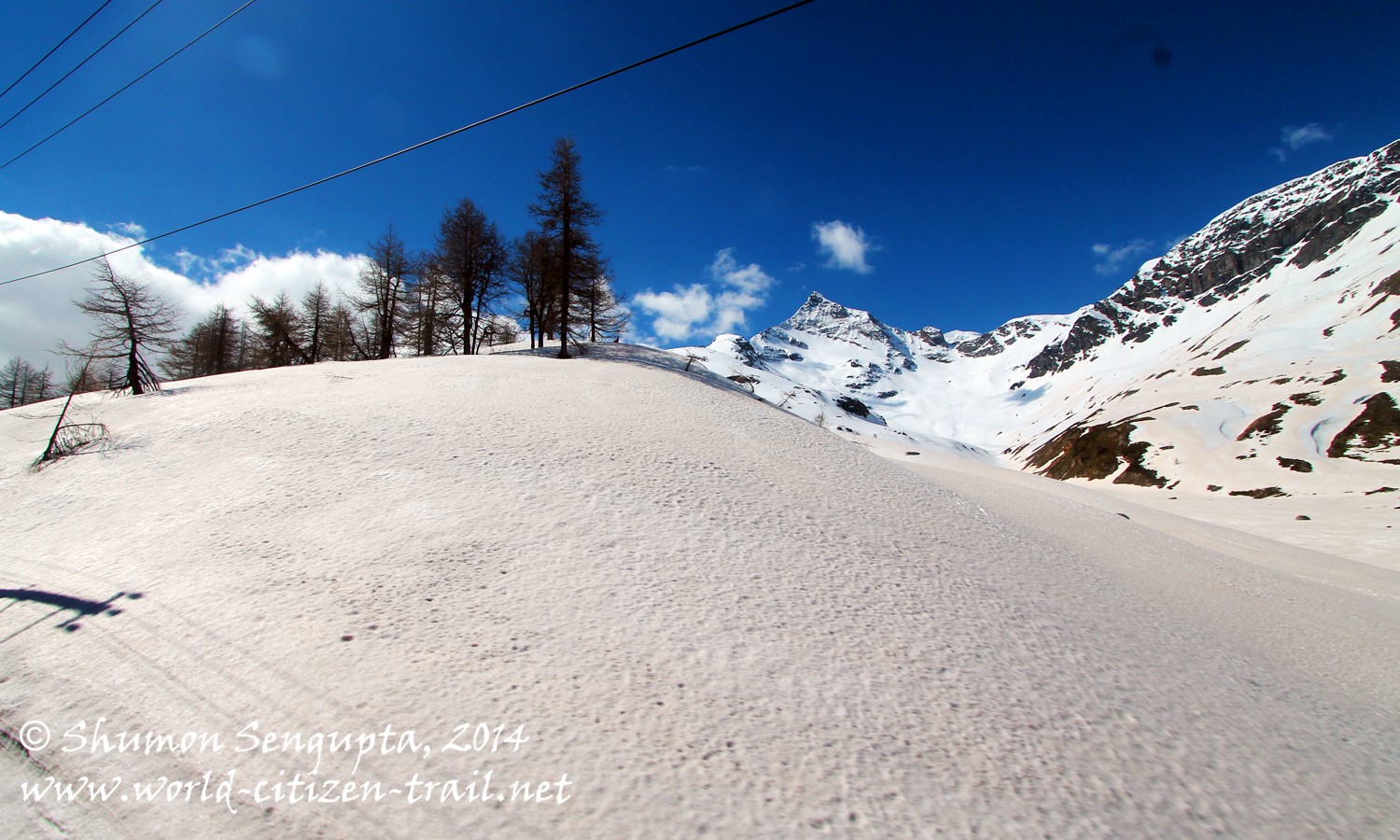
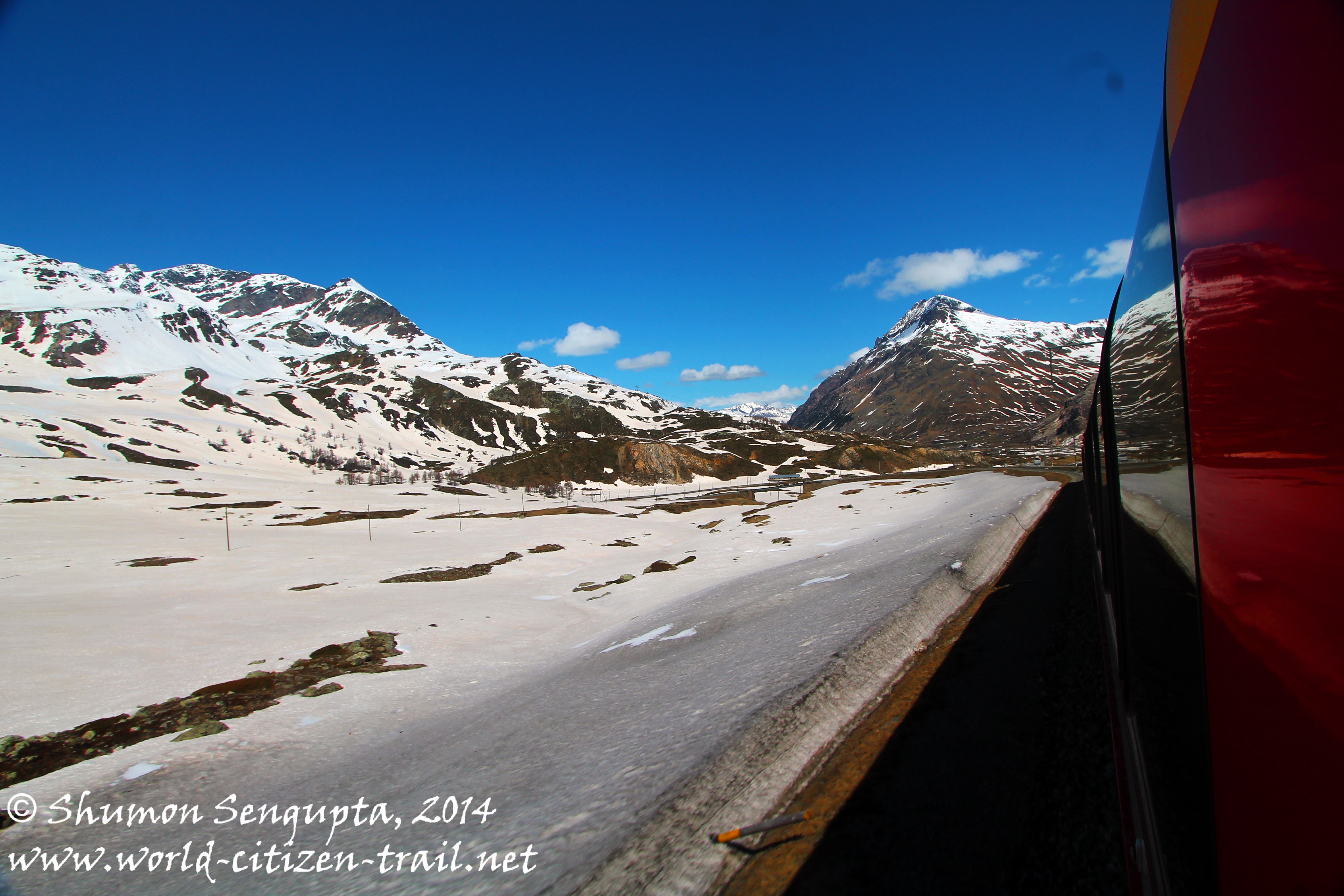
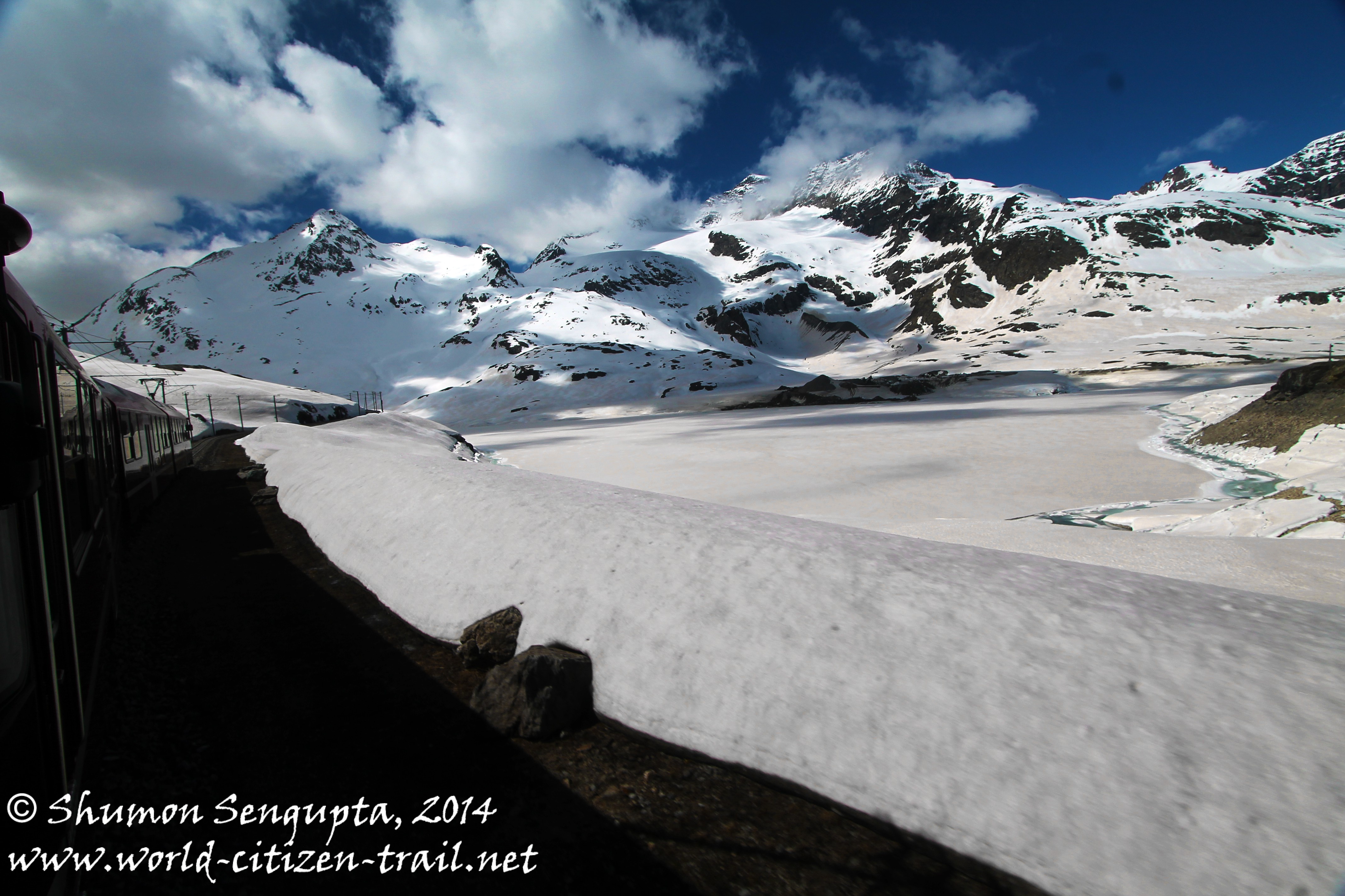
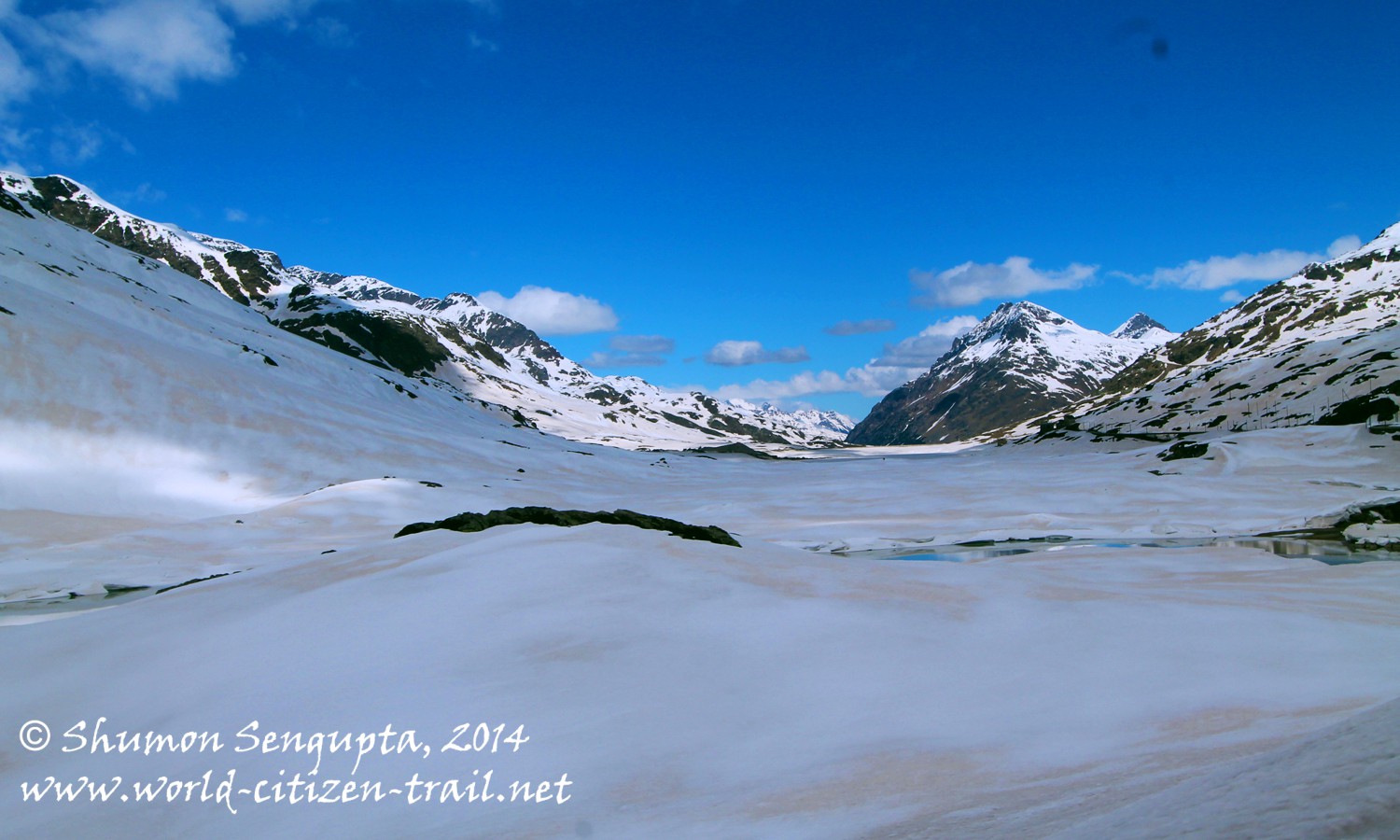
Before arriving at the Bernina Pass, our train stopped at Bernina Diavolezza station at 6,866 feet. Here visitors can get off to take the cable car connection to Diavolezza, a popular skiing area in the upper Engadine.
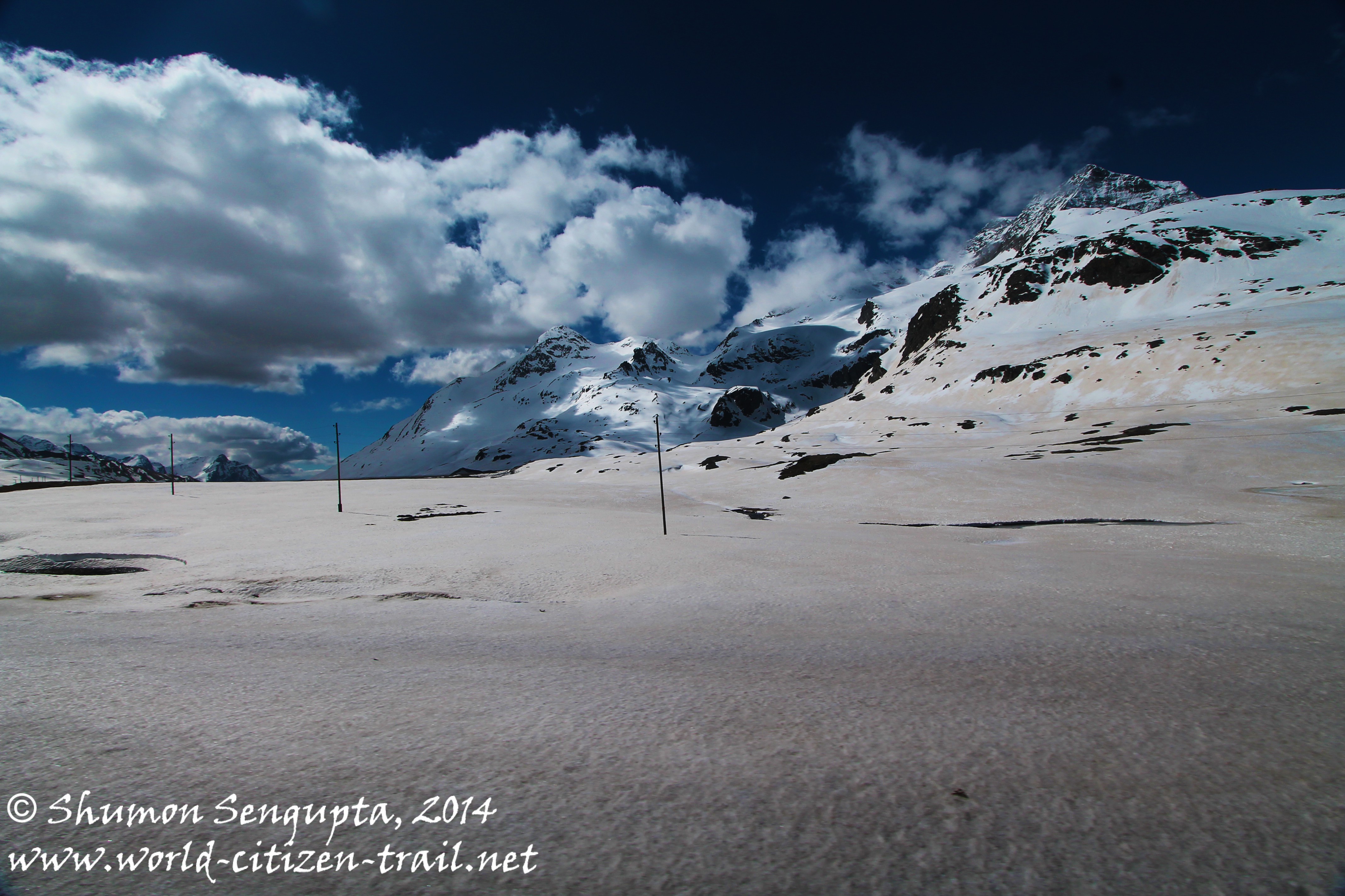
From there, our train reached its highest summit at Ospizio Bernina station at 7,388 feet – the highest railway crossing in Europe. From there our train descended to Alp Grüm.
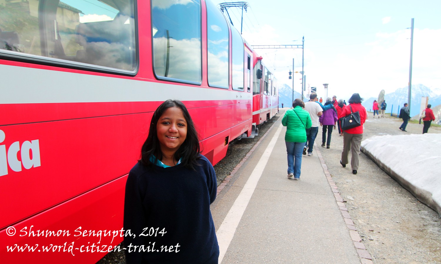
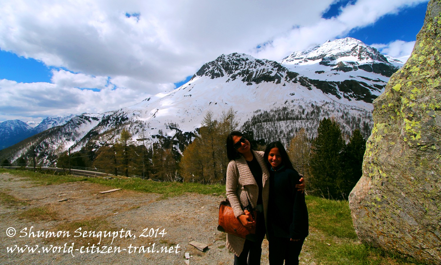
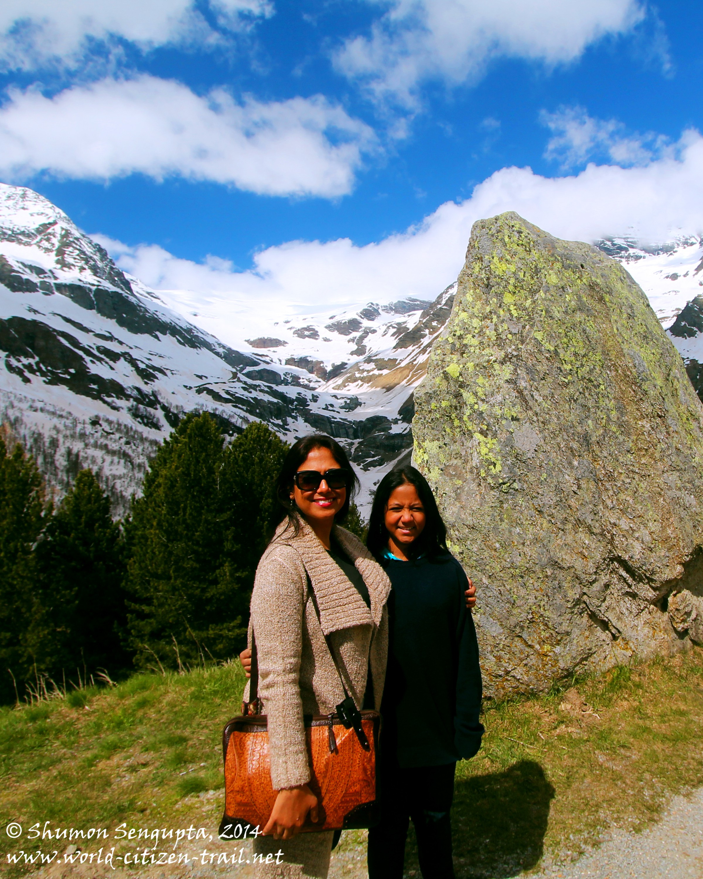
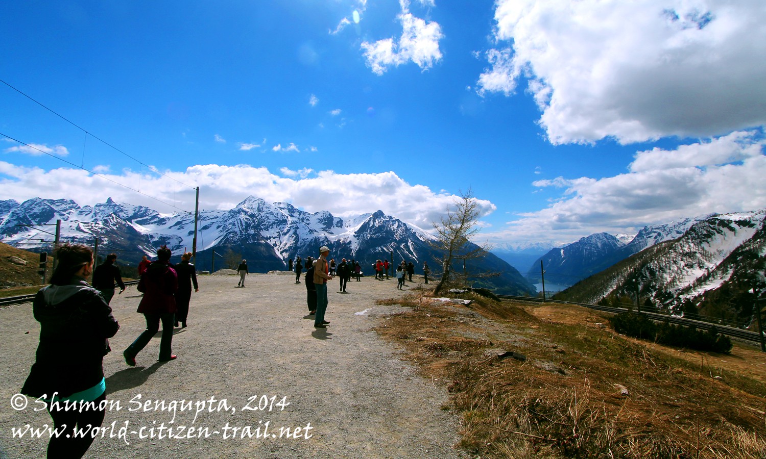
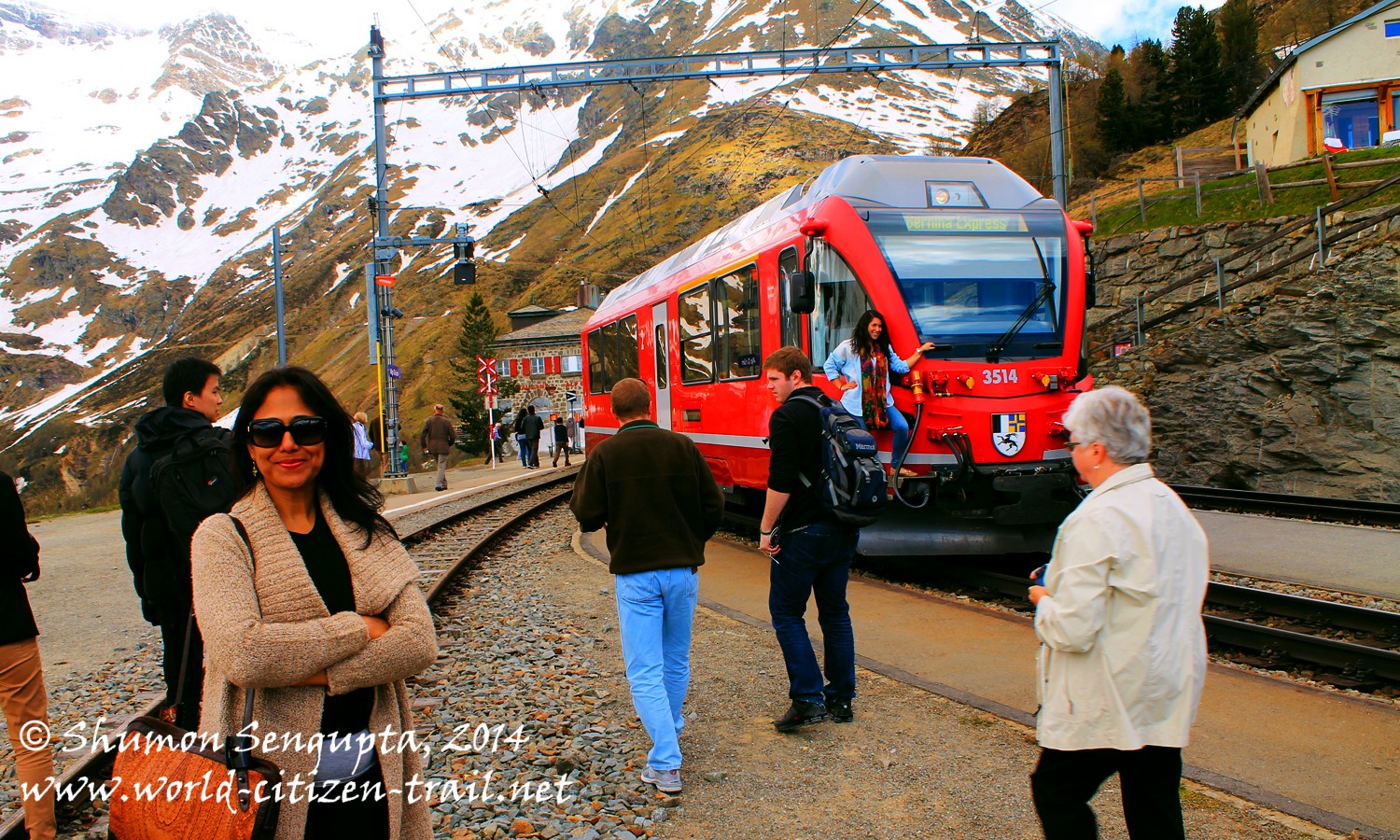
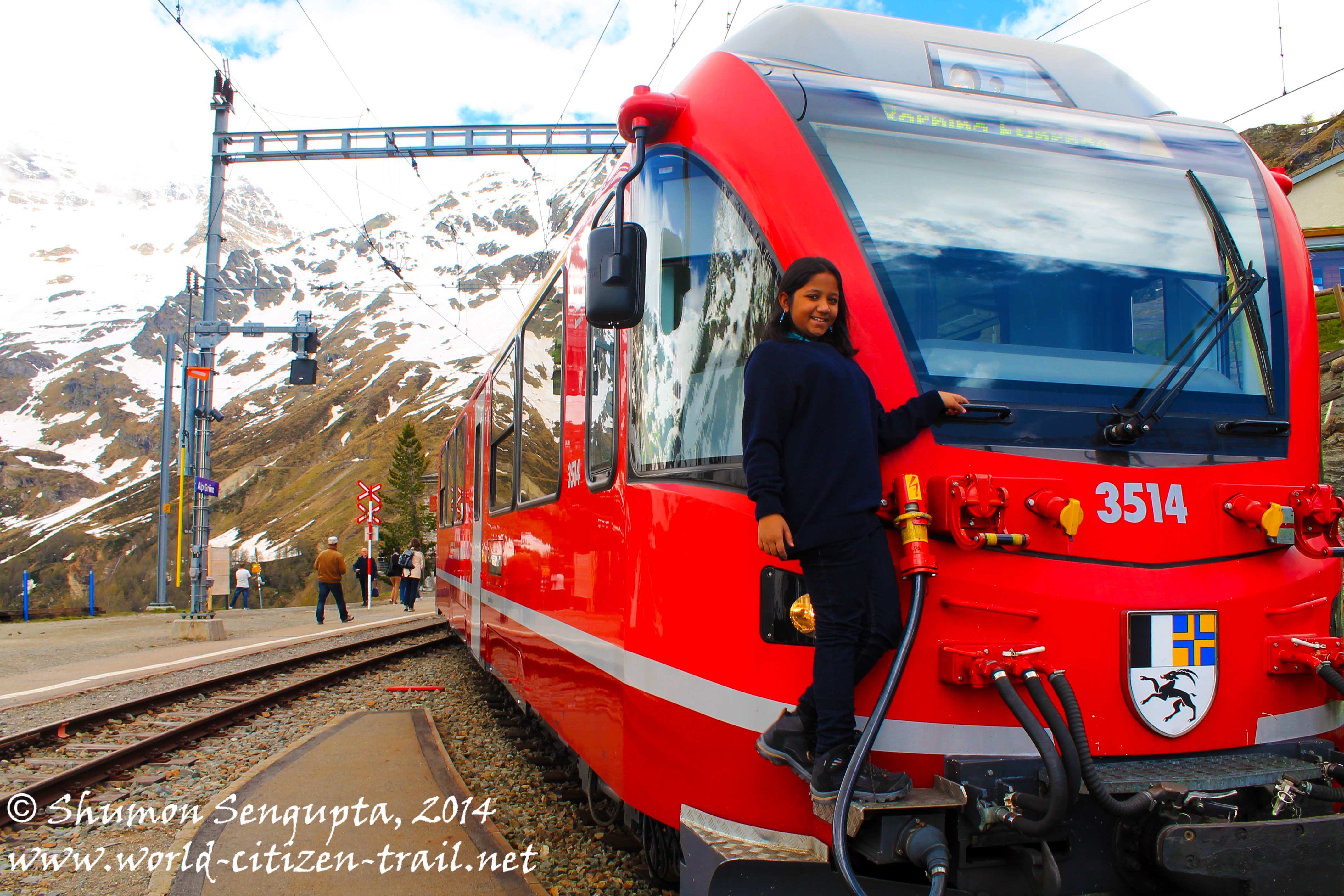
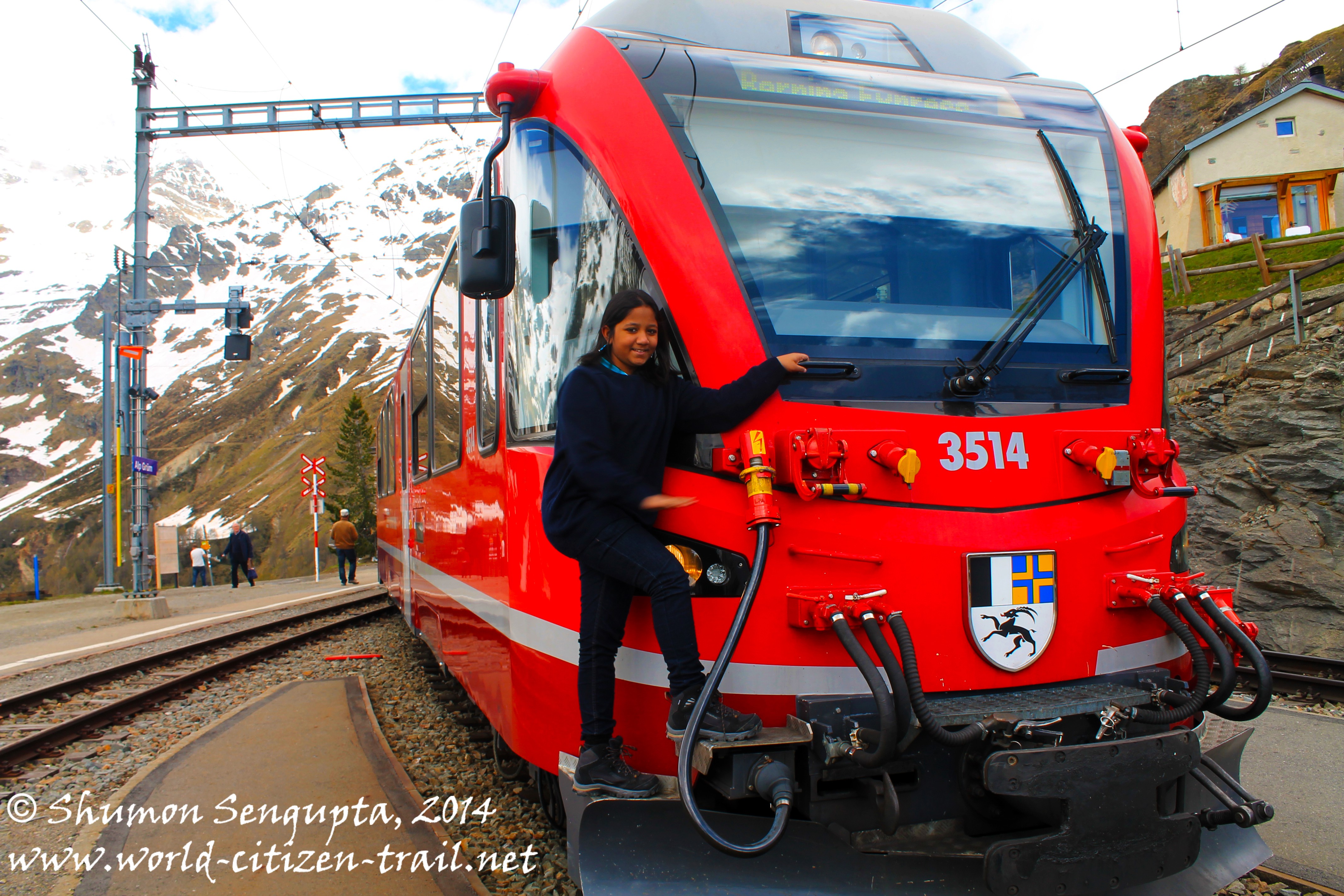
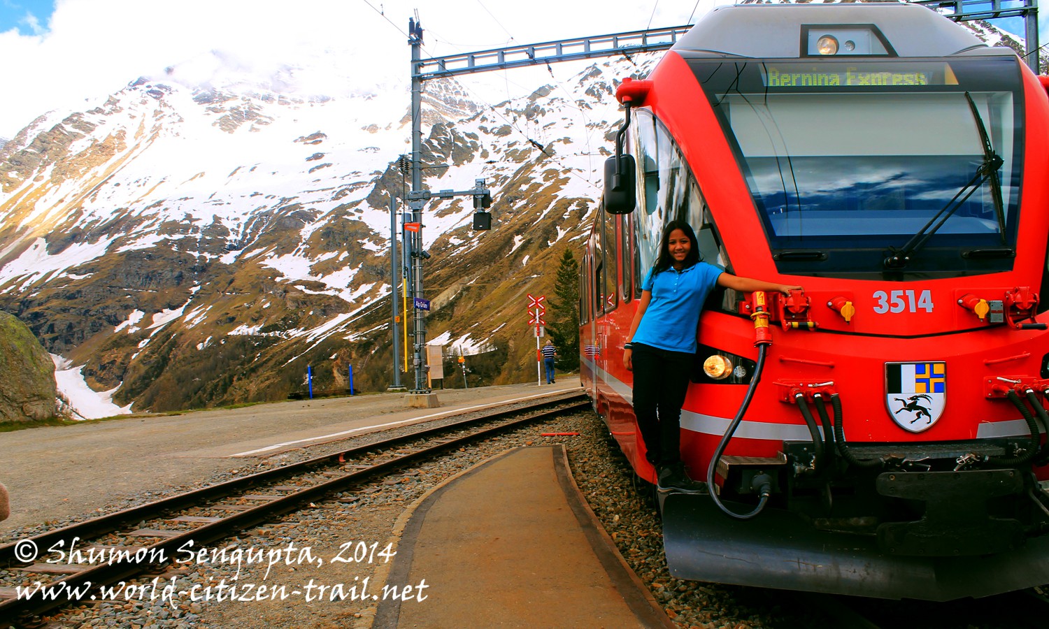
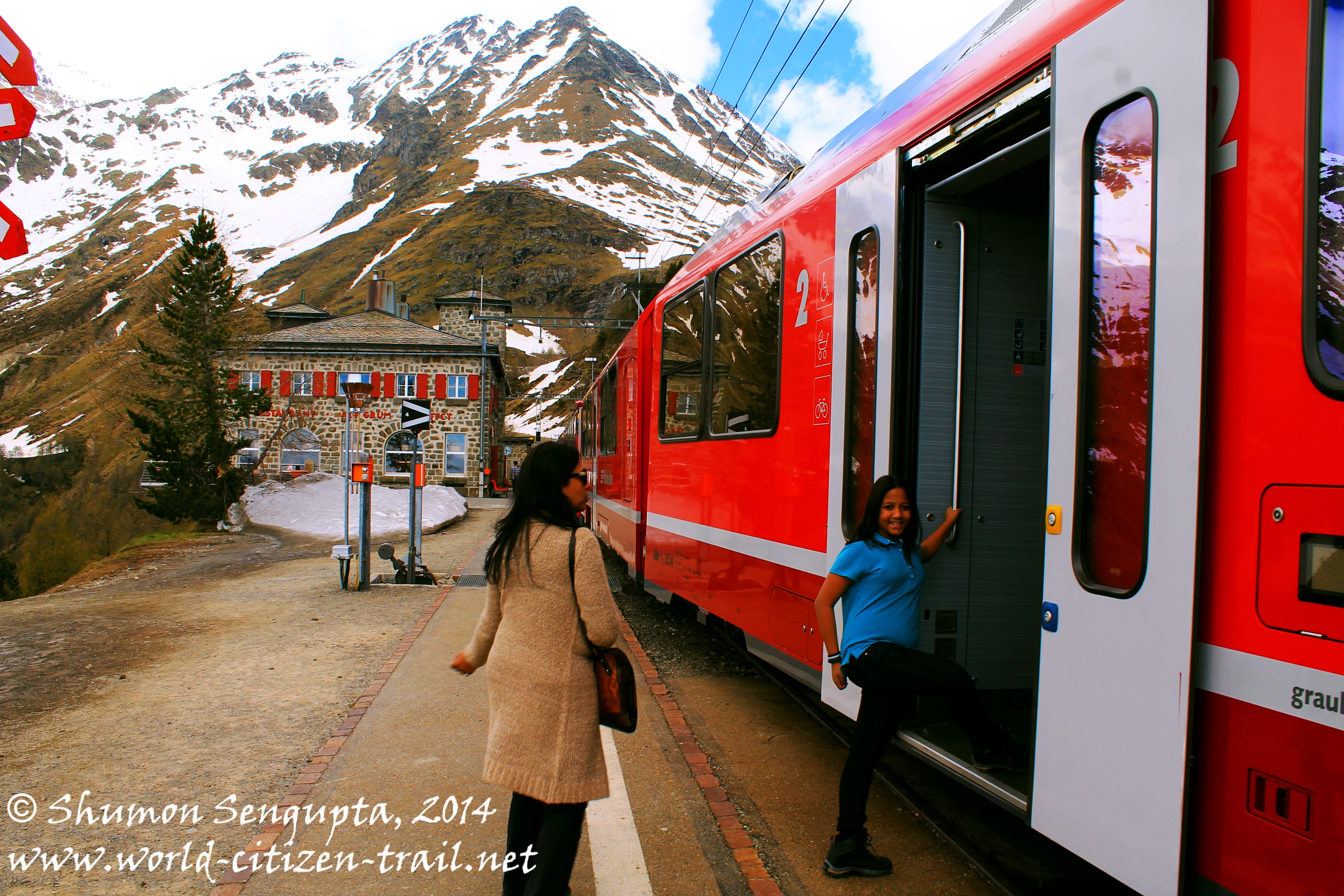
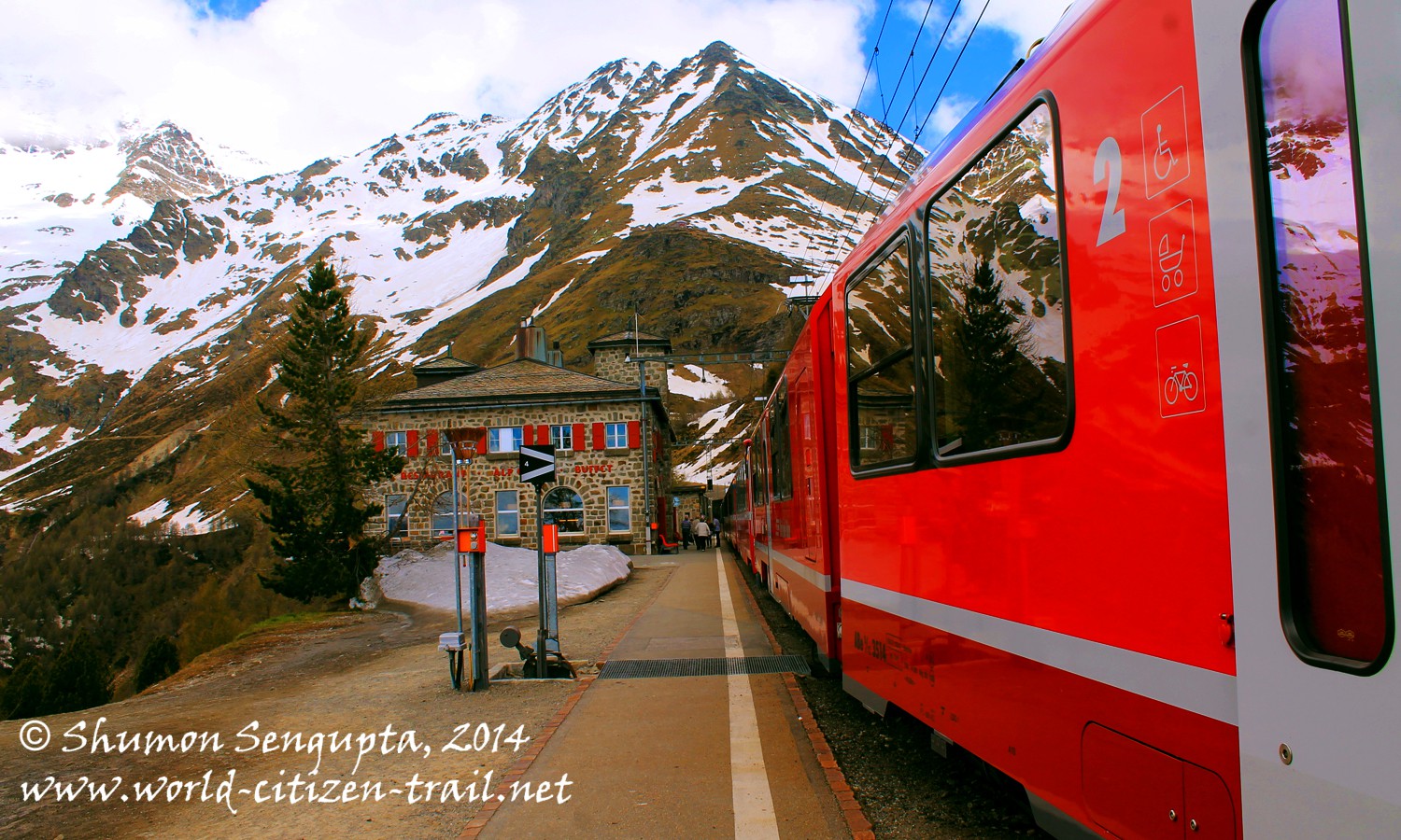
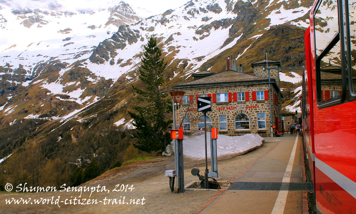
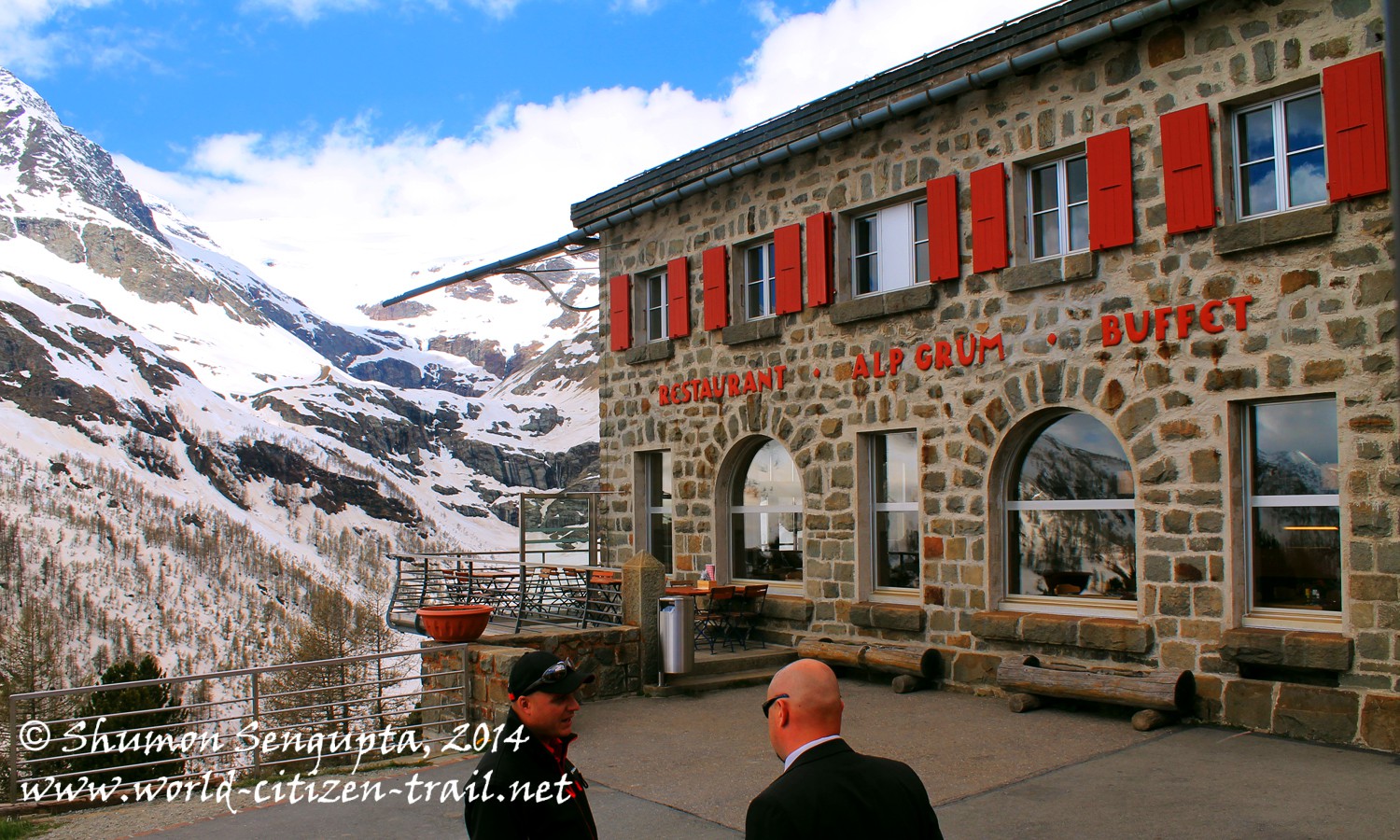
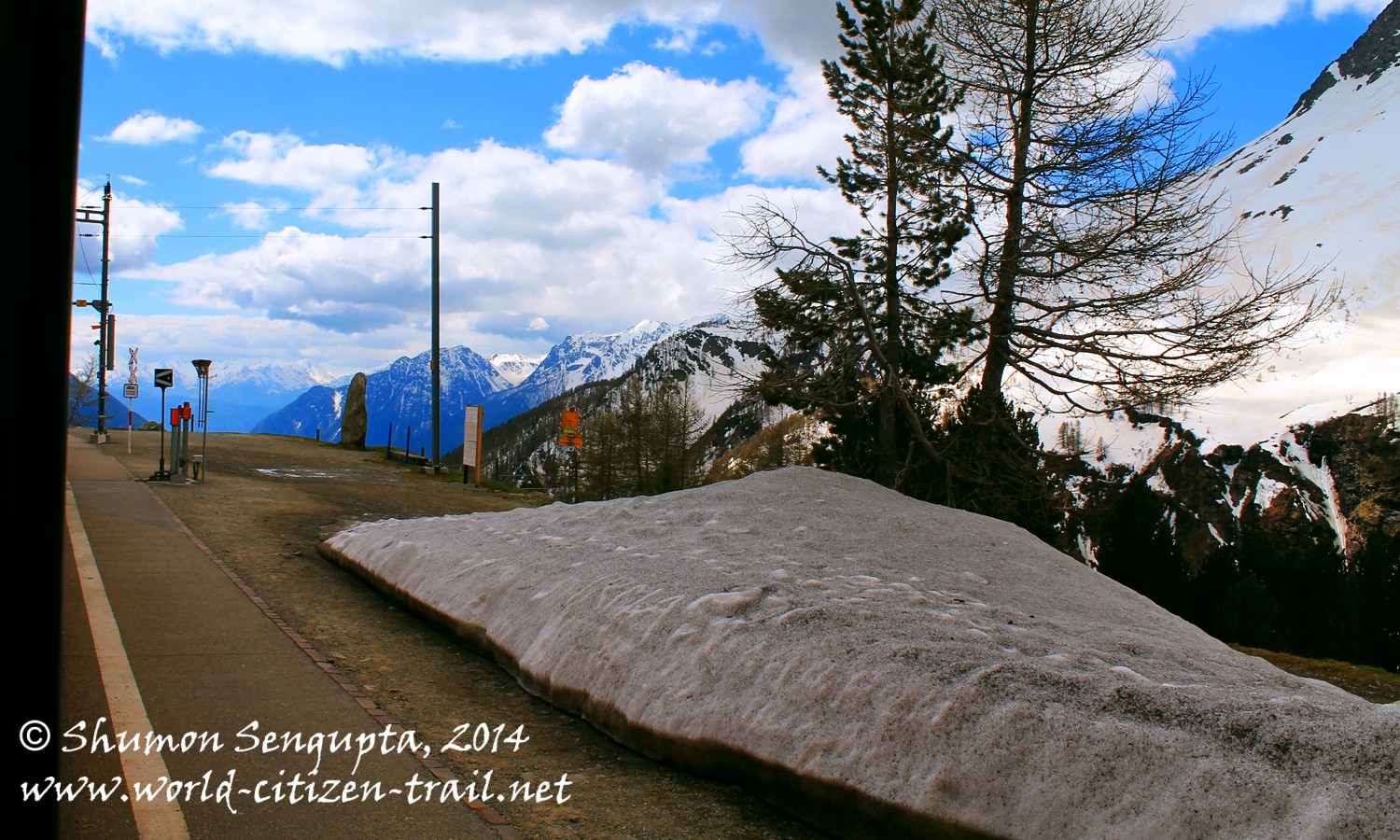
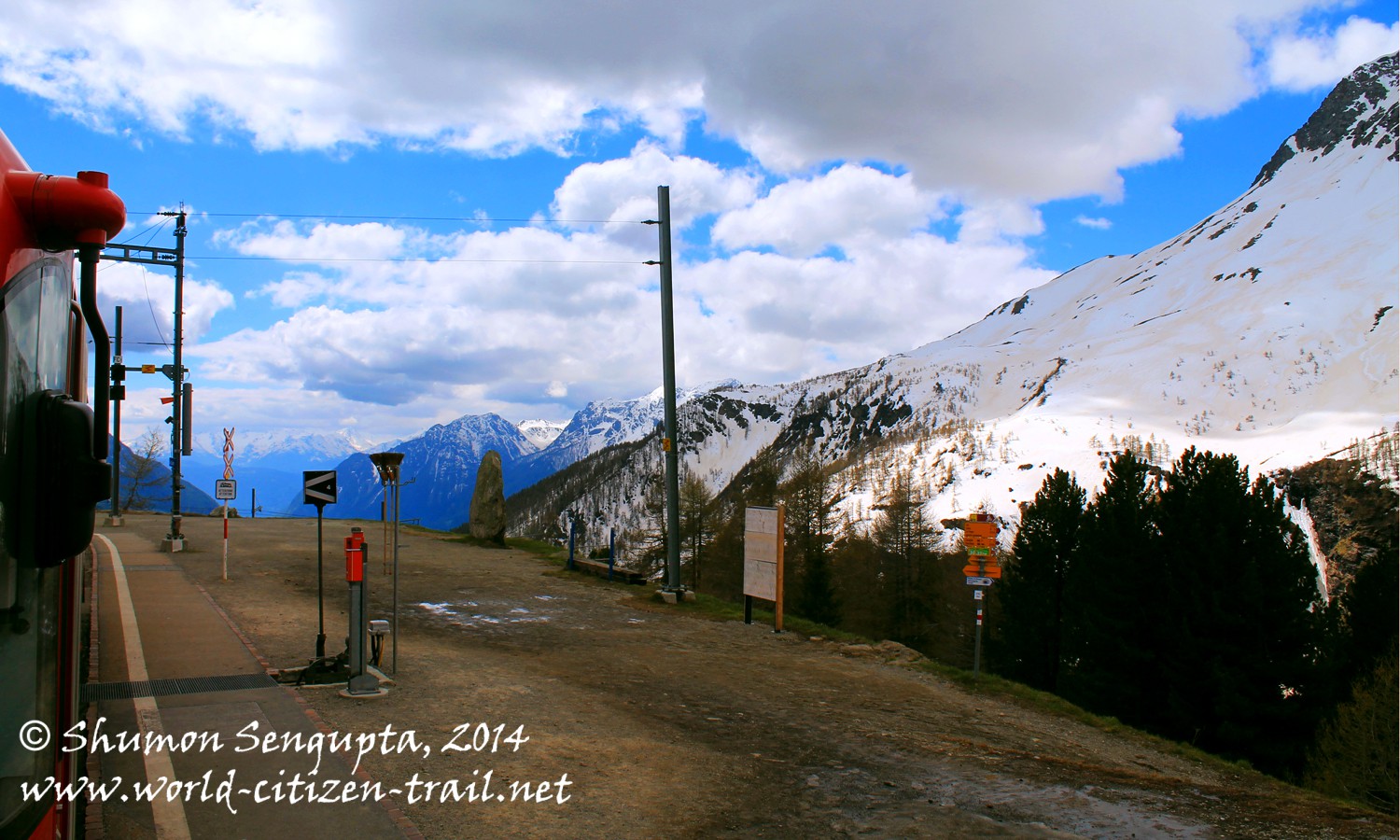
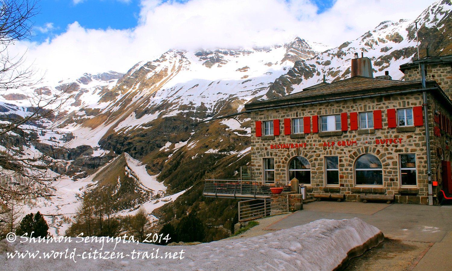
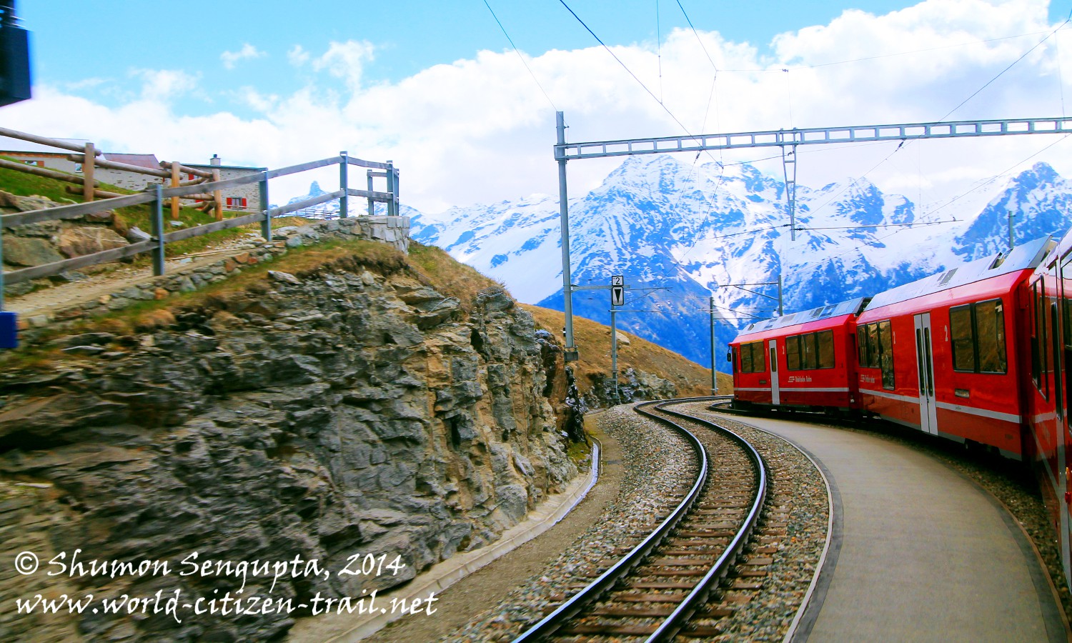
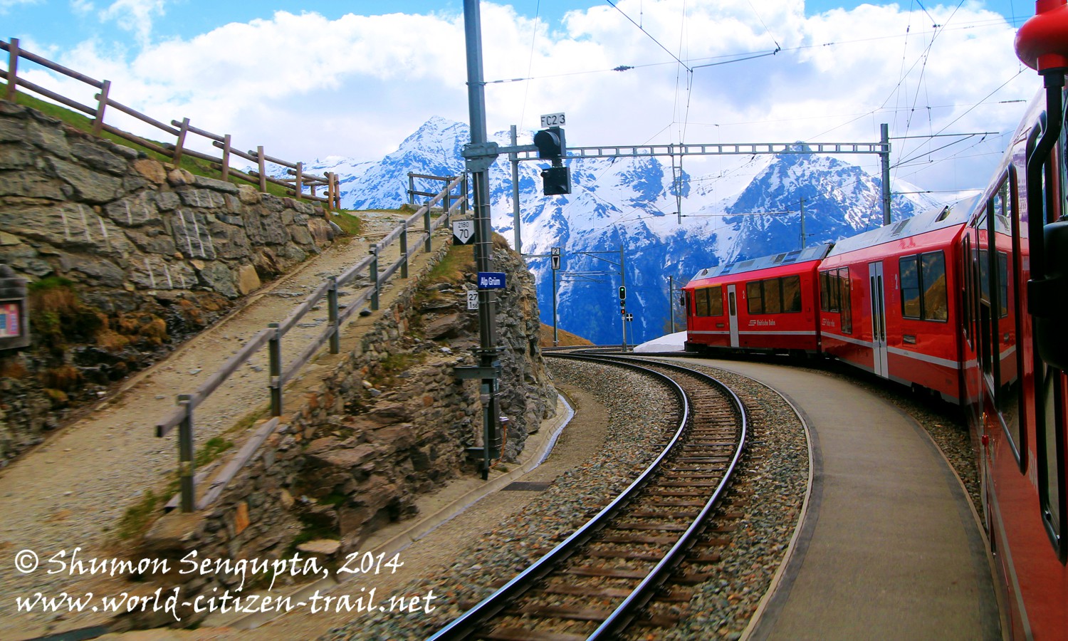
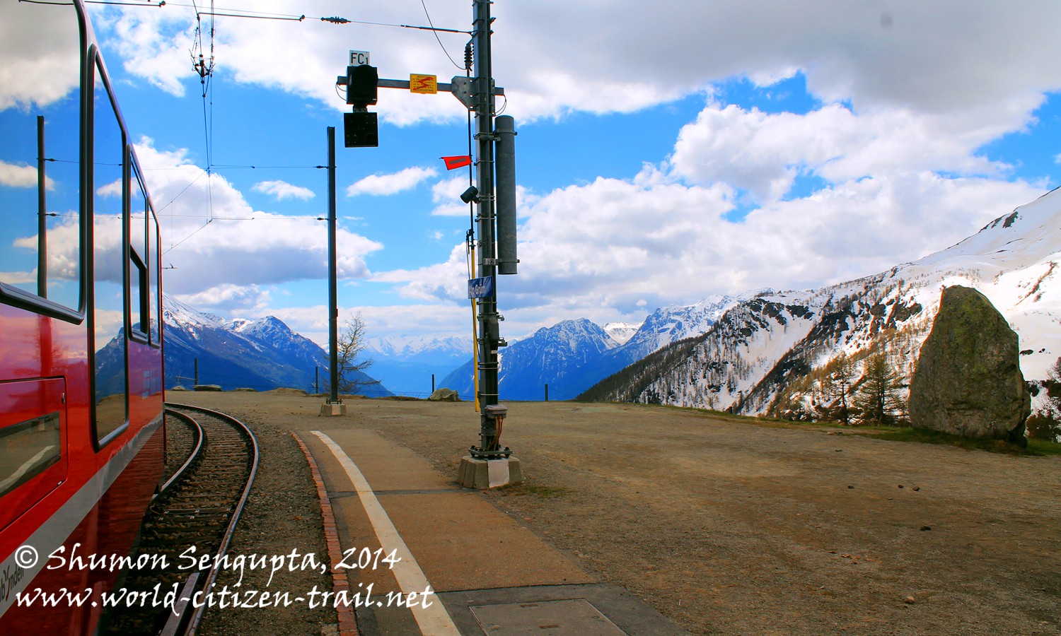
Alp Grüm (at 6,860 feet) is the first station south of the Alps, situated above the Lago Palu and right below the Piz Palu and its glacier. Located where the tree line ends, Alp Grüm is the last station before entering the Italian speaking part of Switzerland.
The train halted at Alp Grüm for twenty minutes and this gave us an excellent opportunity to get out and take a few photographs of this stunningly beautiful place.
For the description and photographs of the second section of the Bernina Express train journey (from Alp Grüm to Tirano) please you might want to see my subsequent post.
The Bernina Express climbs all the way up to high alpine glaciers and then gradually descends into Tirano, bordering Italy. Along its journey, it links different cantons of Switzerland, cultures and linguistic groups.
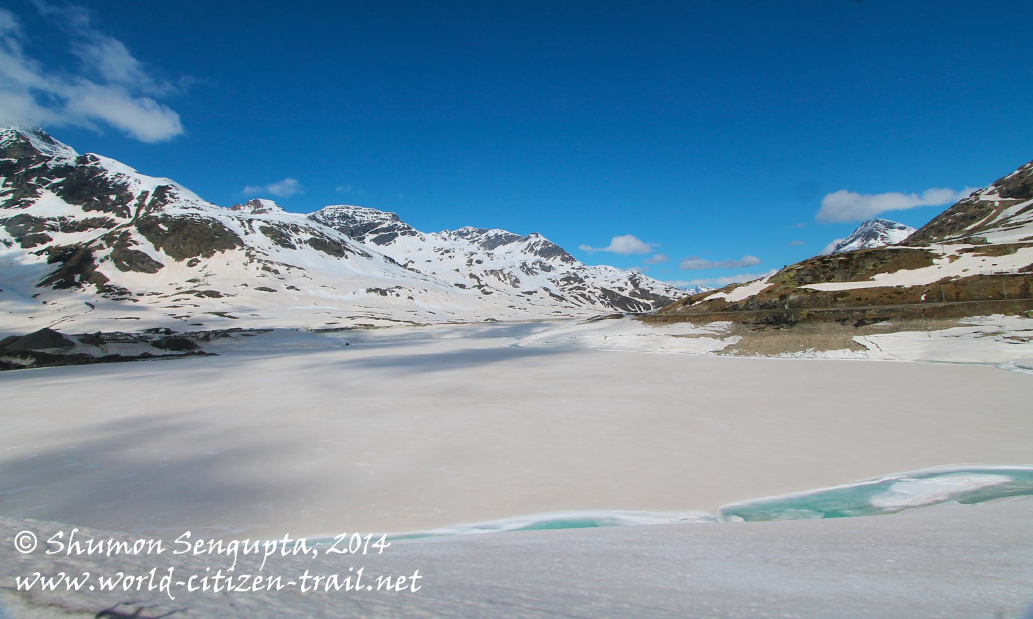
The views were diverse and spectacular. Splendid blue skies, craggy, soaring snow capped mountains, impressive rock formations, vast and stark expanses of snow, glacial valleys and lakes (Pitschen, Nair and Bianco) alternated with lush green valleys with rolling meadows, forests and turbulent rivers and streams. It was a total Alpine spectacle, an endless cavalcade of breathtaking images, from our panoramic train windows.
Raved by many travel writers as one of most spectacular rail trips in the world, the train makes dramatic ascends and descends using spiral rail tracks. The wonders of nature and the marvel of human grit, ingenuity and technology dovetailed to provide a mind blowing Alpine experience.